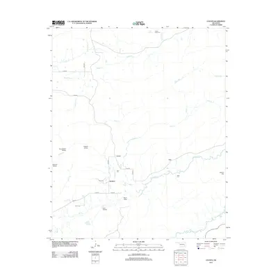
2012 Map of Counts
USGS Topo · Published 2012About this map
Counts and Weathers serve as central points in this area of Pittsburg County, where the landscape is defined by the winding course of N Jackfork Cr and its many tributaries. The terrain is notably etched by deep drainage patterns, including Yellowjacket Hollow, Sawmill Hollow, and Hogeye Hollow, which lead down from higher ground toward Burris Valley. For those researching local family history, several small burial grounds are identified across the quadrangle, such as Nace Cem, Baker Cem, and Smith Cem. To the east, the topography rises sharply at Jackfork Mtn, while the northern portion is drained by Buffalo Cr and branches of N Fork Elm Cr. The network of rural roads, such as n4180 RD and e1620 RD, connects these scattered settlements and cemeteries through the diverse creek valleys.
Find a feature on this map
36 named features on this map. Tap any name to fly to it.
Don’t see what you’re looking for? This feature index may not catch every label — zoom into the map to look around manually.
Map Details
Editions of this 2012 Counts Map
This is the sole edition of this map. No revisions or reprints were ever made.
Other maps of this area

1898 · McAlester
USGS Topo · 1:125,000

1901 · Tuskahoma
USGS Topo · 1:125,000

1908 · Tuskahoma
USGS Topo · 1:125,000

1909 · Mc Alester
USGS Topo · 1:125,000

1909 · Tuskahoma
USGS Topo · 1:125,000

1950 · Mcalester
USGS Topo · 1:250,000

1962 · McAlester
USGS Topo · 1:250,000

1965 · McAlester
USGS Topo · 1:250,000

1967 · Hartshorne SW
USGS Topo · 1:24,000

1967 · Hartshorne
USGS Topo · 1:24,000