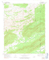
1973 Map of Counts
USGS Topo · Published 1991About this map
Counts and Weathers serve as the primary nodes of settlement within this rural landscape, situated at the confluence of several prominent valleys in the 1970s. The terrain is defined by the massive ridge of Buffalo Mountain and the expansive Bolen Hollow State Public Hunting Area, creating a region of deep hollows like Hogeye Hollow and Yellowjacket Hollow. A significant network of rural family history is preserved through numerous small burial grounds and places of worship, including the Nace Cem, Burris Cem, and Star Ch. The hydrography of the area is diverse, with Buffalo Creek and Jackfork Creek carving through the valleys, while a Landing Strip near the center of the sheet indicates the era's reliance on small-scale aviation for reaching these more secluded corners of the Pittsburg and Latimer County border.
Find a feature on this map
31 named features on this map. Tap any name to fly to it.
Don’t see what you’re looking for? This feature index may not catch every label — zoom into the map to look around manually.
Map Details
Editions of this 1973 Counts Map
2 editions found
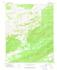
Other maps of this area

1898 · McAlester
USGS Topo · 1:125,000

1901 · Tuskahoma
USGS Topo · 1:125,000

1908 · Tuskahoma
USGS Topo · 1:125,000

1909 · Mc Alester
USGS Topo · 1:125,000

1909 · Tuskahoma
USGS Topo · 1:125,000

1950 · Mcalester
USGS Topo · 1:250,000

1962 · McAlester
USGS Topo · 1:250,000

1965 · McAlester
USGS Topo · 1:250,000

1967 · Hartshorne SW
USGS Topo · 1:24,000

1967 · Hartshorne
USGS Topo · 1:24,000