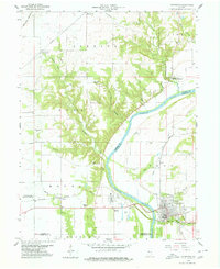
1958 Map of Covington
USGS Topo · Published 1960About this map
The Covington townsite anchors the southeastern corner of this mid-century survey, where the New York Central Railroad meets the banks of the Wabash River. The landscape reveals a complex history of transit, evidenced by several stretches of Old Railroad Grade and an Abandoned line cutting through the rural terrain of Mound and Steuben townships. To the northwest, the small settlements of Marshfield and Johnsonville sit among a network of creeks like Opossum Run and Chesapeake Creek. Local heritage is preserved in several family and community burial grounds, including Baltimore Cem, Rogers Cem, and Upper Mound Cem. Religious life is marked by centers like Galloway Chapel and the Hanging Rock Christian Assembly, reflecting the area's established social fabric between the river and the rail lines.
Find a feature on this map
49 named features on this map. Tap any name to fly to it.
Don’t see what you’re looking for? This feature index may not catch every label — zoom into the map to look around manually.
Map Details
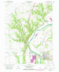
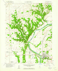
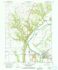
Editions of this 1958 Covington Map
4 editions found
Other maps of this area

1899 · Danville
USGS Topo · 1:62,500

1900 · Danville
USGS Topo · 1:62,500

1933 · Hoopeston
USGS Topo · 1:48,000

1938 · Hoopeston
USGS Topo · 1:62,500

1950 · Danville SE
USGS Topo · 1:24,000

1950 · Danville NE
USGS Topo · 1:24,000

1951 · Danville NE
USGS Topo · 1:24,000

1951 · Danville SE
USGS Topo · 1:24,000

1953 · Danville
USGS Topo · 1:250,000

1955 · Danville
USGS Topo · 1:250,000