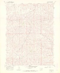
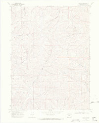
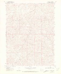
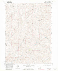
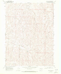
1969 Map of Craig NW
USGS Topo · Published 1972About this map
North Fork Big Gulch and Big Gulch define the intricate drainage network of this high-country landscape in northwestern Colorado. The terrain is a complex series of ridges and deep ravines, where watercourses like West Timberlake Creek and Blue Gravel Creek have carved distinct paths through the high desert floor. While largely an expanse of open land, the map records signs of human exploration and industry, notably in the southern sections.
Find a feature on this map
9 named features on this map. Tap any name to fly to it.
Don’t see what you’re looking for? This feature index may not catch every label — zoom into the map to look around manually.
Map Details
Editions of this 1969 Craig NW Map
4 editions found
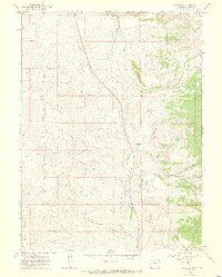
Other maps of this area

1916 · Craig
USGS Topo · 1:125,000

1954 · Craig
USGS Topo · 1:250,000

1957 · Craig
USGS Topo · 1:250,000

1958 · Craig
USGS Topo · 1:250,000

1960 · Craig
USGS Topo · 1:250,000

1962 · Craig
USGS Topo · 1:250,000

1964 · Craig
USGS Topo · 1:250,000

1965 · Craig
USGS Topo · 1:250,000
1969 · Great Divide
USGS Topo · 1:24,000
1969 · Fortification
USGS Topo · 1:24,000