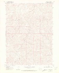
1969 Map of Craig NW
USGS Topo · Published 1972About this map
Dressler sits atop a rise in the northwestern corner of this Moffat County landscape, overlooking a series of drainage systems that define the high-desert topography of the late 1960s. The area is dominated by the confluence of the North Fork Big Gulch and Big Gulch, which carve winding paths through the terrain. Evidence of early land use and exploration is scattered throughout, notably a Drill Hole in the east and a Gravel Pit near Blue Gravel Creek.
Find a feature on this map
10 named features on this map. Tap any name to fly to it.
Don’t see what you’re looking for? This feature index may not catch every label — zoom into the map to look around manually.
Map Details
Editions of this 1969 Craig NW Map
4 editions found
Other maps of this area

1916 · Craig
USGS Topo · 1:125,000

1954 · Craig
USGS Topo · 1:250,000

1957 · Craig
USGS Topo · 1:250,000

1958 · Craig
USGS Topo · 1:250,000

1960 · Craig
USGS Topo · 1:250,000

1962 · Craig
USGS Topo · 1:250,000

1964 · Craig
USGS Topo · 1:250,000

1965 · Craig
USGS Topo · 1:250,000
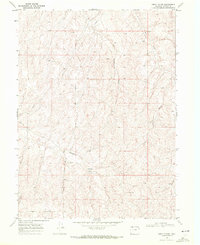
1969 · Great Divide
USGS Topo · 1:24,000
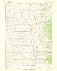
1969 · Fortification
USGS Topo · 1:24,000