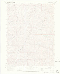
1969 Map of Craig NW
USGS Topo · Published 1972About this map
Dressler and the surrounding high desert terrain of Moffat County define this 1969 topographic survey. The landscape is deeply incised by a network of seasonal drainages, including the North Fork Big Gulch and Blue Gravel Creek. This area of Northwest Colorado shows a transition from agricultural land use to early industrial exploration, evidenced by a scattering of resource-gathering points. In the southern portion of the map, features such as a Drill Hole and several Prospects indicate the region's historical connection to mining and geological surveys. The drainage patterns of West Timberlake Creek and Housel Gulch provide a detailed look at the local watershed before more modern development altered the high-plains geography of the Craig vicinity.
Find a feature on this map
9 named features on this map. Tap any name to fly to it.
Don’t see what you’re looking for? This feature index may not catch every label — zoom into the map to look around manually.
Map Details
Editions of this 1969 Craig NW Map
4 editions found
Other maps of this area

1916 · Craig
USGS Topo · 1:125,000

1954 · Craig
USGS Topo · 1:250,000

1957 · Craig
USGS Topo · 1:250,000

1958 · Craig
USGS Topo · 1:250,000

1960 · Craig
USGS Topo · 1:250,000

1962 · Craig
USGS Topo · 1:250,000

1964 · Craig
USGS Topo · 1:250,000

1965 · Craig
USGS Topo · 1:250,000
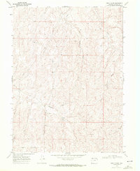
1969 · Great Divide
USGS Topo · 1:24,000
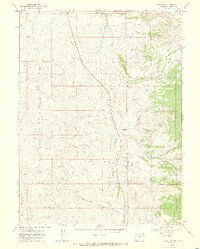
1969 · Fortification
USGS Topo · 1:24,000