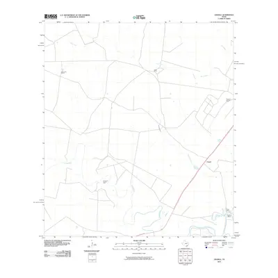
2010 Map of Cranell
USGS Topo · Published 2010About this map
The Aransas River defines the southern portion of this landscape near Cranell, where the coastal plains are marked by a blend of cattle ranching and energy extraction. Extensive holdings like Roche Ranch and Rooke Ranch occupy large tracts of the territory, while the Roche Oil and Gas Field and Encino Oil and Gas Field signal the industrial importance of the region. Local hydrology is characterized by intermittent drainage features such as Chocolate Swale and Sous Creek, which feed into the river system. Notable landmarks for land management and local navigation include Alders Camp Windmill and the sharp turn in the river known as Rooke Bend. The map documents a sparsely populated but economically active area where private ranch lands and oil production intersect.
Find a feature on this map
11 named features on this map. Tap any name to fly to it.
Don’t see what you’re looking for? This feature index may not catch every label — zoom into the map to look around manually.
Map Details
Editions of this 2010 Cranell Map
This is the sole edition of this map. No revisions or reprints were ever made.
Other maps of this area

1953 · Beeville
USGS Topo · 1:250,000

1954 · Skidmore
USGS Topo · 1:62,500

1954 · Woodsboro
USGS Topo · 1:62,500

1954 · Sinton
USGS Topo · 1:62,500

1954 · Refugio
USGS Topo · 1:62,500

1956 · Beeville
USGS Topo · 1:250,000

1960 · Beeville
USGS Topo · 1:250,000

1978 · Woodsboro
USGS Topo · 1:24,000

1978 · Cranell
USGS Topo · 1:24,000

1978 · Refugio SW
USGS Topo · 1:24,000