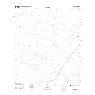
2013 Map of Cranell
USGS Topo · Published 2013About this map
The Aransas River winds through this coastal plain landscape in Refugio County, defining the southern geography near Rooke Bend. This era of the landscape is characterized by a mix of traditional ranching and modern energy extraction, evidenced by the presence of both the Roche Ranch and the Roche Oil and Gas Field. The small settlement of Cranell serves as a central point along the highway, while more remote landmarks like Alders Camp Windmill indicate the continued reliance on legacy water infrastructure in the more open western stretches. Drainage patterns across the flats are marked by intermittent features such as Chocolate Swale and Sous Cr, which lead toward the larger river system. Industrial footprints are localized but significant, notably the Encino Oil and Gas Field, which sits south of the main river channel.
Find a feature on this map
12 named features on this map. Tap any name to fly to it.
Don’t see what you’re looking for? This feature index may not catch every label — zoom into the map to look around manually.
Map Details
Editions of this 2013 Cranell Map
This is the sole edition of this map. No revisions or reprints were ever made.
Other maps of this area
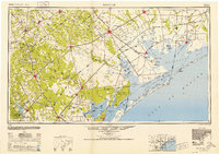
1953 · Beeville
USGS Topo · 1:250,000
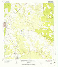
1954 · Skidmore
USGS Topo · 1:62,500
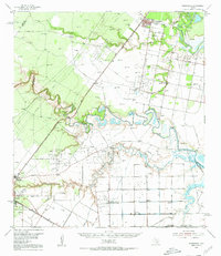
1954 · Woodsboro
USGS Topo · 1:62,500
1954 · Sinton
USGS Topo · 1:62,500
1954 · Refugio
USGS Topo · 1:62,500
1956 · Beeville
USGS Topo · 1:250,000
1960 · Beeville
USGS Topo · 1:250,000
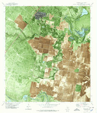
1978 · Woodsboro
USGS Topo · 1:24,000
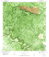
1978 · Cranell
USGS Topo · 1:24,000
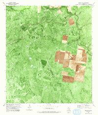
1978 · Refugio SW
USGS Topo · 1:24,000