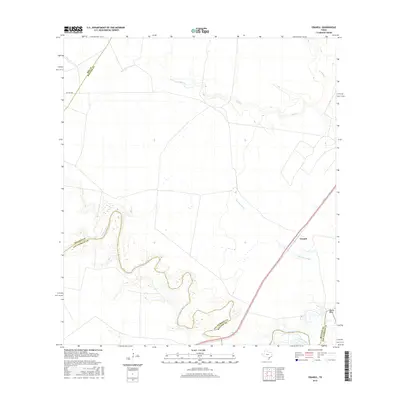
2016 Map of Cranell
USGS Topo · Published 2016About this map
The Aransas River meanders through this section of the Coastal Bend, forming a series of tight oxbows that define the county line between Refugio and San Patricio counties. This landscape is characterized by its complex hydrology, where drainage features like Chocolate Swale and Sous Cr carve through the prairie. The settlement of Cranell sits near the eastern edge of the quadrangle, serving as a focal point in an area dominated by rural land use and riparian corridors. Near the southeastern corner, the sharp turn of the river at Rooke Bend illustrates the dynamic nature of the local waterways. Small access routes such as Pvt Rd 6004 provide glimpses into the infrastructure of these remote ranchlands and agricultural territories.
Find a feature on this map
10 named features on this map. Tap any name to fly to it.
Don’t see what you’re looking for? This feature index may not catch every label — zoom into the map to look around manually.
Map Details
Editions of this 2016 Cranell Map
This is the sole edition of this map. No revisions or reprints were ever made.
Other maps of this area

1953 · Beeville
USGS Topo · 1:250,000

1954 · Skidmore
USGS Topo · 1:62,500

1954 · Woodsboro
USGS Topo · 1:62,500

1954 · Sinton
USGS Topo · 1:62,500

1954 · Refugio
USGS Topo · 1:62,500

1956 · Beeville
USGS Topo · 1:250,000

1960 · Beeville
USGS Topo · 1:250,000

1978 · Woodsboro
USGS Topo · 1:24,000

1978 · Cranell
USGS Topo · 1:24,000

1978 · Refugio SW
USGS Topo · 1:24,000