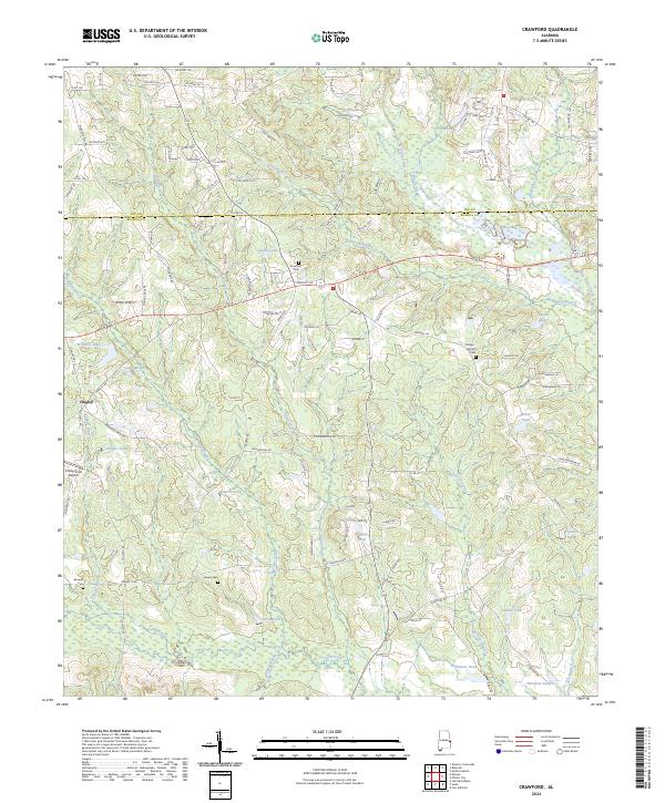
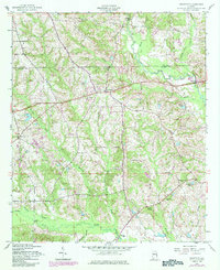
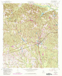
2024 Map of Crawford
USGS Topo · Published 2024About this map
Little Uchee Creek and Whites Creek converge in this pocket of East Alabama, defining a landscape marked by numerous private impoundments and rural cemeteries. The area around Hugley and the historical Crawford Cem reflects a pattern of long-standing family landholdings, where agriculture and timber management are supported by water sources like Williams Lake, Dudley Lake, and Fullers Pond.
Find a feature on this map
73 named features on this map. Tap any name to fly to it.
Don’t see what you’re looking for? This feature index may not catch every label — zoom into the map to look around manually.
Map Details
Editions of this 2024 Crawford Map
This is the sole edition of this map. No revisions or reprints were ever made.
Historical Maps of Parkmanville Through Time
20 maps found
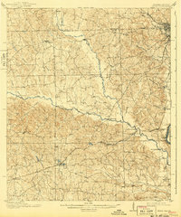
1914 Seale
Russell County, AL
1949 Fort Mitchell
Russell County, AL
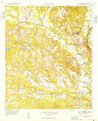
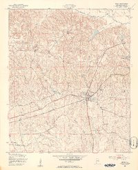
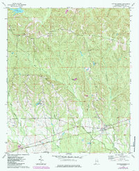
1950 Crawford
Russell County, AL
1950 Seale
Russell County, AL

1950 Seale
Russell County, AL
1955 Crawford
Russell County, AL
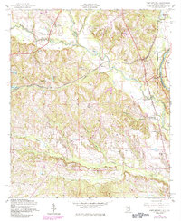
1955 Fort Mitchell
Russell County, AL

1955 Seale
Russell County, AL
1955 Seale
Russell County, AL
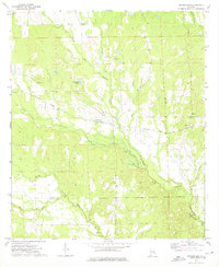
1957 Pittsview
Russell County, AL

1971 Marvyn
Russell County, AL
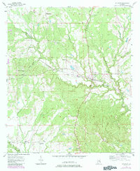
1973 Hatchechubbee
Russell County, AL
1973 Rutherford
Russell County, AL
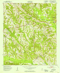
2024 Crawford
Russell County, AL

2024 Fort Mitchell
Russell County, AL
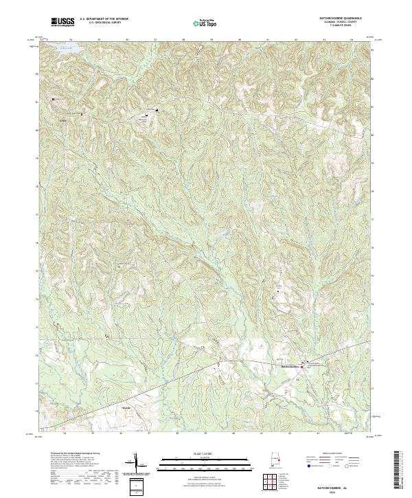
2024 Hatchechubbee
Russell County, AL
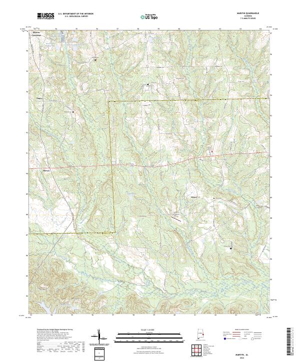
2024 Marvyn
Russell County, AL
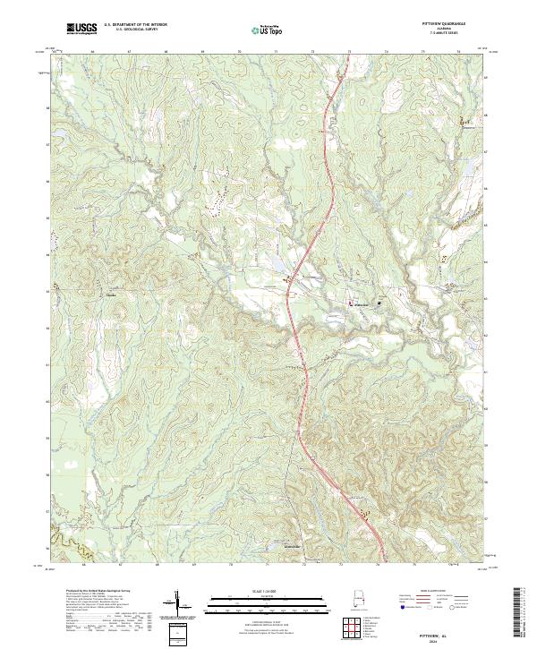
2024 Pittsview
Russell County, AL
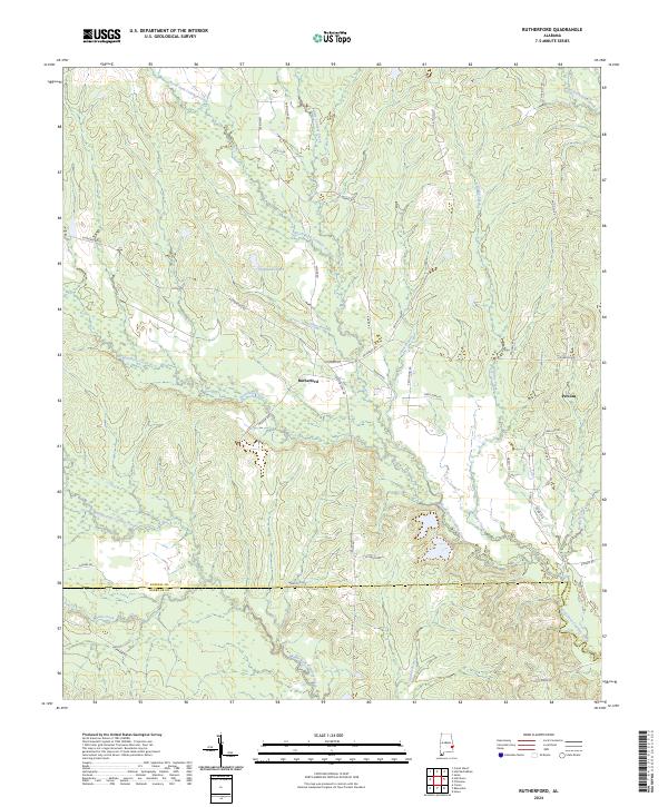
2024 Rutherford
Russell County, AL
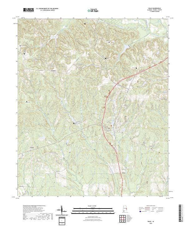
2024 Seale
Russell County, AL