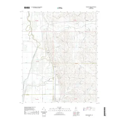
2020 Map of Crenshaw North
USGS Topo · Published 2020About this map
The Coldwater River and its managed drainage systems dominate this corner of Northwest Mississippi, where the boundary between the Yazoo-Mississippi Delta and the eastern loess bluffs is clearly defined. The western half of the map shows a landscape of engineered waterways, including the Coldwater River Levee, Coon Bayou Cut-Off, and Yellow Lake Bayou, reflecting decades of flood control efforts necessary for the region's agricultural productivity.
Find a feature on this map
80 named features on this map. Tap any name to fly to it.
Don’t see what you’re looking for? This feature index may not catch every label — zoom into the map to look around manually.
Map Details
Editions of this 2020 Crenshaw North Map
This is the sole edition of this map. No revisions or reprints were ever made.
Other maps of this area

1908 · Hollywood
USGS Topo · 1:24,000

1908 · Walnut Lake
USGS Topo · 1:24,000

1910 · Walnut Lake
USGS Topo · 1:31,680

1913 · Hollywood
USGS Topo · 1:31,680

1932 · Sledge
USGS Topo · 1:48,000

1932 · Marks
USGS Topo · 1:48,000

1932 · Crenshaw
USGS Topo · 1:62,500

1935 · Marks
USGS Topo · 1:62,500

1935 · Crenshaw
USGS Topo · 1:62,500

1935 · Sledge
USGS Topo · 1:62,500