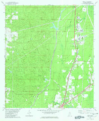
1982 Map of Creola
USGS Topo · Published 1982About this map
The town of Creola serves as a focal point in this early 1980s survey, where the established residential patterns of Axis and Salco meet a landscape defined by industrial and natural water systems. The transit corridors of the Burlington Northern and Southern railroads parallel the main north-south artery, anchoring several small communities including Le Moyne and Barry Village. Away from the rail lines, the terrain is carved by numerous watercourses such as Cold Creek, Gunnison Creek, and the curiously named Hells Swamp Branch. This era shows a mix of heavy utility and local life, evidenced by the presence of a large Filtration Plant near Salco alongside more personal landmarks like Forest Lawn Cem and Little Bethel Ch. The map also captures the local extraction economy through several scattered Sandpit sites and active Gas Well locations near Hatters Pond.
Find a feature on this map
46 named features on this map. Tap any name to fly to it.
Don’t see what you’re looking for? This feature index may not catch every label — zoom into the map to look around manually.
Map Details
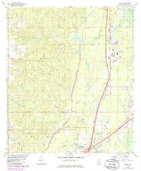
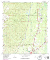
Editions of this 1982 Creola Map
3 editions found
Other maps of this area

1941 · Chickasaw
USGS Topo · 1:31,680

1941 · Bay Minette
USGS Topo · 1:62,500

1941 · Creola
USGS Topo · 1:62,500

1942 · Hurricane
USGS Topo · 1:31,680

1942 · Kushla
USGS Topo · 1:31,680
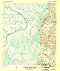
1943 · Hurricane
USGS Topo · 1:31,680

1943 · Creola
USGS Topo · 1:62,500

1943 · Chickasaw
USGS Topo · 1:31,680

1943 · Bay Minette
USGS Topo · 1:62,500

1943 · Tensaw
USGS Topo · 1:62,500