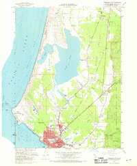
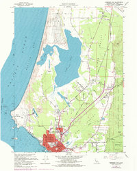
1966 Map of Crescent City
USGS Topo · Published 1968About this map
Crescent City serves as the focal point of this coastal survey, showing the grid-based development of the town just south of the sprawling Lake Earl and Lake Talawa lagoon system. The landscape transition from the rugged coast at Point St George to the heavily forested interior of Jedediah Smith Redwoods State Park is clearly defined, with several redwood groves like Weber Grove and Metcalf Grove named.
Find a feature on this map
56 named features on this map. Tap any name to fly to it.
Don’t see what you’re looking for? This feature index may not catch every label — zoom into the map to look around manually.
Map Details
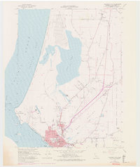
Editions of this 1966 Crescent City Map
6 editions found
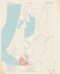
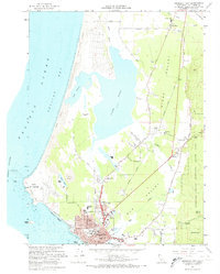
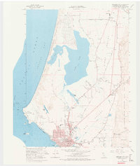
Other maps of this area

1929 · Crescent City
USGS Topo · 1:125,000

1945 · Point St. George
USGS Topo · 1:62,500

1945 · Requa
USGS Topo · 1:62,500

1949 · Eureka
USGS Topo · 1:250,000
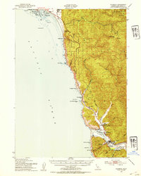
1952 · Klamath
USGS Topo · 1:62,500

1952 · Crescent City
USGS Topo · 1:62,500
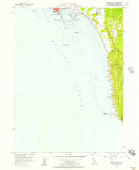
1956 · Sister Rocks
USGS Topo · 1:24,000

1956 · Crescent City
USGS Topo · 1:24,000

1956 · Smith River
USGS Topo · 1:24,000

1958 · Eureka
USGS Topo · 1:250,000