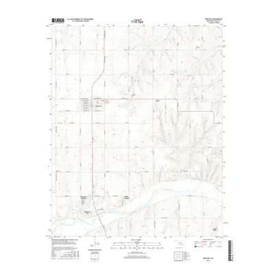
2016 Map of Crescent
USGS Topo · Published 2016About this map
Crescent serves as the primary hub in this Logan County landscape, with its residential streets organized around a central grid including W Monroe St and E Sanderson St. The surrounding countryside is defined by the winding course of the Cimarron River, which forms a wide valley across the southern portion of the map. Near the riverbank, several distinct communities and developments like Cimarron City, Crescent Springs, and Indian Springs cluster around local water features such as Lake Lattawanna and Cedar Cove Lake.
Find a feature on this map
56 named features on this map. Tap any name to fly to it.
Don’t see what you’re looking for? This feature index may not catch every label — zoom into the map to look around manually.
Map Details
Editions of this 2016 Crescent Map
This is the sole edition of this map. No revisions or reprints were ever made.
Other maps of this area

1892 · Guthrie
USGS Topo · 1:62,500

1892 · Kingfisher
USGS Topo · 1:125,000

1893 · Mulhall
USGS Topo · 1:62,500

1893 · Lovell
USGS Topo · 1:62,500

1895 · Kingfisher
USGS Topo · 1:125,000

1954 · Oklahoma City
USGS Topo · 1:250,000

1955 · Enid
USGS Topo · 1:250,000

1957 · Oklahoma City
USGS Topo · 1:250,000

1958 · Enid
USGS Topo · 1:250,000

1963 · Oklahoma City
USGS Topo · 1:250,000