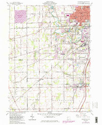
1961 Map of Cridersville
USGS Topo · Published 1983About this map
Industrial expansion and suburban growth characterize the southern outskirts of Lima during the early 1960s, a period when the landscape was a mix of established neighborhoods and specialized facilities. The presence of the Lima Ordnance Modification Center and a nearby Tank Farm reflect the area's strategic logistical importance, supported by a dense rail network including the Baltimore and Ohio and the Norfolk and Western railroads.
Find a feature on this map
60 named features on this map. Tap any name to fly to it.
Don’t see what you’re looking for? This feature index may not catch every label — zoom into the map to look around manually.
Map Details
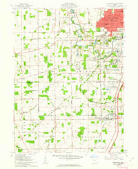
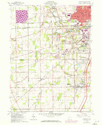
Editions of this 1961 Cridersville Map
3 editions found
Other maps of this area

1906 · Lima
USGS Topo · 1:62,500

1906 · Columbus Grove
USGS Topo · 1:62,500

1908 · Columbus Grove
USGS Topo · 1:62,500

1911 · Spencerville
USGS Topo · 1:62,500

1911 · Delphos
USGS Topo · 1:62,500

1944 · Delphos
USGS Topo · 1:62,500

1944 · Spencerville
USGS Topo · 1:62,500

1953 · Muncie
USGS Topo · 1:250,000

1956 · Muncie
USGS Topo · 1:250,000
1960 · Delphos
USGS Topo · 1:24,000