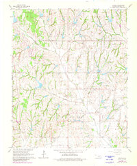
1966 Map of Criner
USGS Topo · Published 1980About this map
The Southwest Criner Oil Field and the Golden Trend Oil Field define the industrial character of this McClain County landscape during the mid-1960s. This survey, updated with 1978 aerial revisions, shows a high density of petroleum infrastructure interspersed with traditional ranching and farming tracts. The small settlement of Criner sits at the junction of Criner Creek and Wildcat Creek, while the community of Payne is located to the southeast near the Bryant Ch.
Find a feature on this map
20 named features on this map. Tap any name to fly to it.
Don’t see what you’re looking for? This feature index may not catch every label — zoom into the map to look around manually.
Map Details
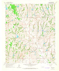
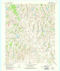
Editions of this 1966 Criner Map
3 editions found
Other maps of this area

1893 · Norman
USGS Topo · 1:62,500

1898 · Purcell
USGS Topo · 1:125,000

1898 · Pauls Valley
USGS Topo · 1:125,000

1902 · Pauls Valley
USGS Topo · 1:125,000

1902 · Rush Springs
USGS Topo · 1:125,000

1904 · Chickasha
USGS Topo · 1:125,000

1936 · Norman
USGS Topo · 1:62,500

1954 · Oklahoma City
USGS Topo · 1:250,000

1957 · Ardmore
USGS Topo · 1:250,000

1957 · Oklahoma City
USGS Topo · 1:250,000