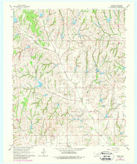
1966 Map of Criner
USGS Topo · Published 1988About this map
The Oklahoma oil landscape of the mid-1960s is vividly detailed here, defined by the extensive production zones of the Golden Trend Oil Field and the Southwest Criner Oil Field. These petroleum interests overlay a rural geography of winding watercourses, where the community of Criner sits near the confluence of Criner Creek and Wildcat Creek. The map documents a period when the local economy was deeply tied to both the extraction of natural resources and traditional agricultural land use within the Colbert and Turnbull boundaries.
Find a feature on this map
19 named features on this map. Tap any name to fly to it.
Don’t see what you’re looking for? This feature index may not catch every label — zoom into the map to look around manually.
Map Details
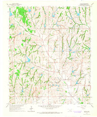
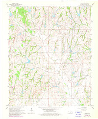
Editions of this 1966 Criner Map
3 editions found
Other maps of this area

1893 · Norman
USGS Topo · 1:62,500

1898 · Purcell
USGS Topo · 1:125,000

1898 · Pauls Valley
USGS Topo · 1:125,000

1902 · Pauls Valley
USGS Topo · 1:125,000

1902 · Rush Springs
USGS Topo · 1:125,000

1904 · Chickasha
USGS Topo · 1:125,000

1936 · Norman
USGS Topo · 1:62,500

1954 · Oklahoma City
USGS Topo · 1:250,000

1957 · Ardmore
USGS Topo · 1:250,000

1957 · Oklahoma City
USGS Topo · 1:250,000