
1903 Map of Crisfield
USGS Topo · Published 1903About this map
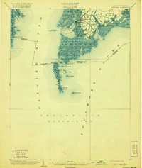
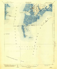
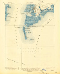
Crisfield stands as the primary hub of this 1903 maritime landscape, where the terrestrial world of Somerset County fragments into the expansive waters of Tangier and Pocomoke sounds. The map illustrates a intricate network of coastal settlements and island outposts, including Sackertown, Lawsonia, and Birdtown, many of which were deeply tied to the seafood industry of the Chesapeake Bay. Further offshore, the Janes Island L.H. marks a critical navigational point near Janes Island, while the remote eastern edge of Smith Island is visible across the sound, showing landings like Horse Hammock. This survey provides a rare look at the shoreline before significant twentieth-century changes, documenting numerous small islands such as Great Fox Island and Green Harbor I. along the Maryland-Virginia boundary line. The survey work remains notably incomplete in the southern reaches, emphasizing the difficulty of mapping these shifting marshes and shallow thorofares.
Find a feature on this map
57 named features on this map. Tap any name to fly to it.
Don’t see what you’re looking for? This feature index may not catch every label — zoom into the map to look around manually.
Map Details
Editions of this 1903 Crisfield Map
4 editions found
Other maps of this area

1898 · St. Marys
USGS Topo · 1:125,000

1903 · Bloodsworth Island
USGS Topo · 1:62,500

1903 · Deal Island
USGS Topo · 1:62,500

1906 · St. Marys
USGS Topo · 1:125,000

1917 · Ewell
USGS Topo · 1:62,500

1920 · Crisfield
USGS Topo · 1:62,500

1931 · Accomac
USGS Topo · 1:48,000

1935 · Accomac
USGS Topo · 1:62,500

1942 · Chesconessex
USGS Topo · 1:31,680

1942 · Nandua Creek
USGS Topo · 1:24,000