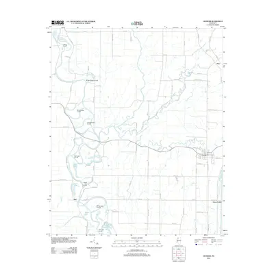
2012 Map of Crowder
USGS Topo · Published 2012About this map
The Tallahatchie River and Coldwater River dominate this 2012 landscape in the Mississippi Delta, showing a complex network of hydrological engineering and natural oxbows. The terrain is defined by numerous cut-offs, such as Morning Star Cut-Off and Wright School Cut-Off, illustrating historical efforts to manage the flow of these significant waterways. Near the settlement of Crowder, the Panola Quitman Floodway serves as a massive infrastructure feature designed for water control in this low-lying region.
Find a feature on this map
84 named features on this map. Tap any name to fly to it.
Don’t see what you’re looking for? This feature index may not catch every label — zoom into the map to look around manually.
Map Details
Editions of this 2012 Crowder Map
This is the sole edition of this map. No revisions or reprints were ever made.
Other maps of this area
1932 · Sledge
USGS Topo · 1:48,000
1932 · Tutwiler
USGS Topo · 1:48,000
1932 · Marks
USGS Topo · 1:48,000
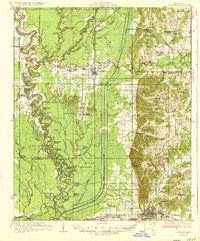
1935 · Crowder
USGS Topo · 1:62,500
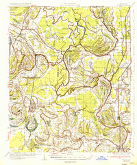
1935 · Marks
USGS Topo · 1:62,500
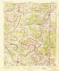
1935 · Tutwiler
USGS Topo · 1:62,500
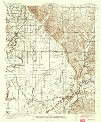
1935 · Sledge
USGS Topo · 1:62,500
1939 · Sledge
USGS Topo · 1:62,500
1939 · Crowder
USGS Topo · 1:62,500
1939 · Tutwiler
USGS Topo · 1:62,500