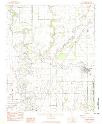
1982 Map of Crowder
USGS Topo · Published 1983About this map
The Tallahatchie River and its intricate network of bayous and cutoffs dominate this Delta landscape, illustrating a complex history of alluvial movement and human engineering. The town of Crowder sits near the confluence of the Old Little Tallahatchie River and the Yocona River, serving as a central hub in a region defined by agricultural drainage and flood control, notably the Quitman Floodway. Historical landmarks such as the Indian Mounds near the Coldwater River provide a glimpse into the ancient inhabitation of this fertile basin.
Find a feature on this map
39 named features on this map. Tap any name to fly to it.
Don’t see what you’re looking for? This feature index may not catch every label — zoom into the map to look around manually.
Map Details
Editions of this 1982 Crowder Map
This is the sole edition of this map. No revisions or reprints were ever made.
Other maps of this area
1932 · Sledge
USGS Topo · 1:48,000
1932 · Tutwiler
USGS Topo · 1:48,000
1932 · Marks
USGS Topo · 1:48,000
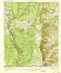
1935 · Crowder
USGS Topo · 1:62,500
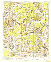
1935 · Marks
USGS Topo · 1:62,500
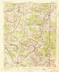
1935 · Tutwiler
USGS Topo · 1:62,500
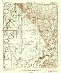
1935 · Sledge
USGS Topo · 1:62,500
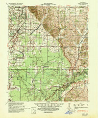
1939 · Sledge
USGS Topo · 1:62,500
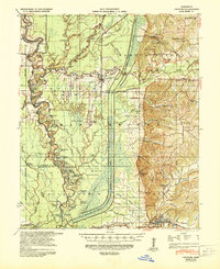
1939 · Crowder
USGS Topo · 1:62,500
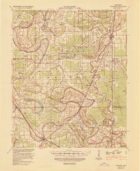
1939 · Tutwiler
USGS Topo · 1:62,500