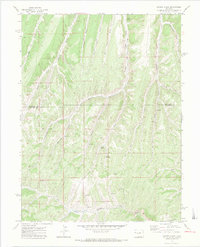
1971 Map of Cutoff Gulch
USGS Topo · Published 1974About this map
The boundary between Rio Blanco Co and Garfield Co cuts through this high-altitude landscape of western Colorado, dominated by the intricate drainage systems of the Piceance Basin. The terrain is defined by the deep incisions of Stewart Gulch and its many tributaries, including West Fork Stewart Gulch, East Fork Stewart Gulch, and Dry Fork Stewart Gulch. To the south, the headwaters of Parachute Creek and its West Fork begin their descent through the plateau.
Find a feature on this map
27 named features on this map. Tap any name to fly to it.
Don’t see what you’re looking for? This feature index may not catch every label — zoom into the map to look around manually.
Map Details
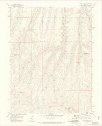
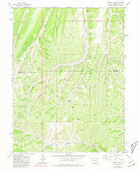
Editions of this 1971 Cutoff Gulch Map
3 editions found
Other maps of this area

1925 · Parachute Creek
USGS Topo · 1:62,500

1927 · Parachute Creek
USGS Topo · 1:62,500

1929 · Highmore
USGS Topo · 1:62,500

1952 · Rock School
USGS Topo · 1:24,000

1952 · Jessup Gulch
USGS Topo · 1:24,000

1952 · No Name Ridge
USGS Topo · 1:24,000

1956 · Grand Junction
USGS Topo · 1:250,000

1959 · Grand Junction
USGS Topo · 1:250,000

1960 · Grand Junction
USGS Topo · 1:250,000

1962 · Grand Junction
USGS Topo · 1:250,000