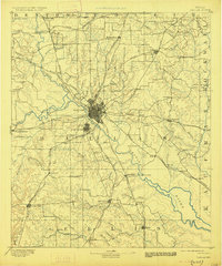
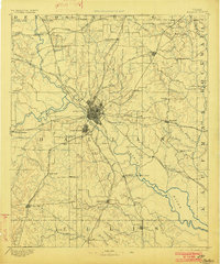
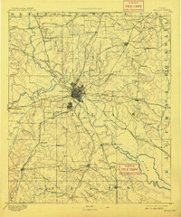
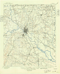
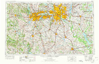
1893 Map of Dallas
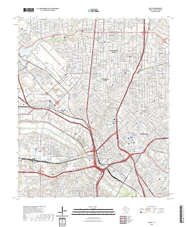
USGS Topo · Published 1927About this map
The Trinity River and its major forks converge at Dallas, a hub of rail commerce as it appeared in the late 19th century. This 1889 survey captures the city before its massive 20th-century expansion, showing the independent municipality of Oak Cliff and small surrounding settlements like Eagle Ford and Jim Town. The landscape is defined by the heavy presence of steel, with the Texas and Pacific Railway and the Houston and Texas Central Railroad bisecting the region. Beyond the urban core, the map records the rural infrastructure of North Texas, including river crossings like Doddy's Ferry and Barnes Bridge. Local commerce is anchored at rural landmarks such as Haughts Store and Elam Station, while the northern periphery includes the now-absorbed communities of Richardson and Frankford.
Find a feature on this map
90 named features on this map. Tap any name to fly to it.
Don’t see what you’re looking for? This feature index may not catch every label — zoom into the map to look around manually.
Map Details
Editions of this 1893 Dallas Map
5 editions found

Historical Maps of Dallas Through Time
12 maps found

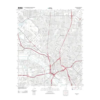
1891 Dallas
Dallas County, TX
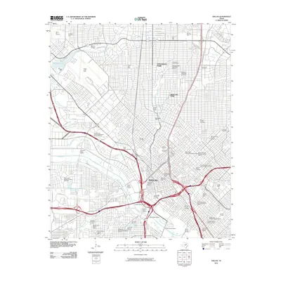
1893 Dallas
Dallas County, TX
1954 Dallas
Dallas County, TX
1958 Dallas
Dallas County, TX

1958 Dallas
Dallas County, TX
1986 Dallas
Dallas County, TX
1995 Dallas
Dallas County, TX
2010 Dallas
Dallas County, TX
2012 Dallas
Dallas County, TX
2016 Dallas
Dallas County, TX
2019 Dallas
Dallas County, TX
2022 Dallas
Dallas County, TX