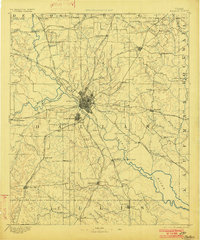
1893 Map of Dallas
USGS Topo · Published 1902About this map
Dallas and its neighboring community of Oak Cliff serve as the hub for an extensive 19th-century transportation network where the Elm Fork of Trinity River meets the West Fork of Trinity River. This survey shows the region as a complex web of railroads and river crossings before modern urban expansion, featuring many small rural stops and family-named landmarks like Haught's Store and Simonds.
Find a feature on this map
88 named features on this map. Tap any name to fly to it.
Don’t see what you’re looking for? This feature index may not catch every label — zoom into the map to look around manually.
Map Details
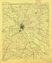
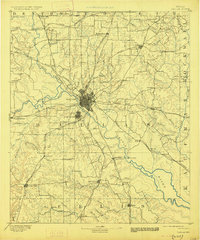
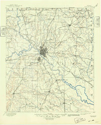
Editions of this 1893 Dallas Map
5 editions found
Other maps of this area

1891 · Dallas
USGS Topo · 1:125,000

1891 · Cleburne
USGS Topo · 1:125,000

1893 · Dallas
USGS Topo · 1:125,000

1894 · Cleburne
USGS Topo · 1:125,000

1894 · Fort Worth
USGS Topo · 1:125,000

1912 · Rockwall
USGS Topo · 1:31,680

1919 · Royse City
USGS Topo · 1:62,500

1924 · Farmersville 3-c
USGS Topo · 1:48,000

1924 · Mc Kinney 4-d
USGS Topo · 1:48,000

1925 · Mc Kinney 3-c
USGS Topo · 1:48,000