
1958 Map of Dallas
USGS Topo · Published 1959About this map
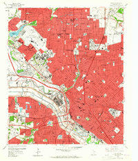
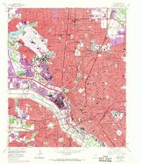
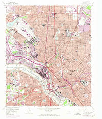
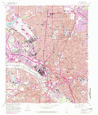
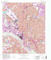
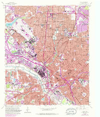
The Trinity River floodway bisects this dense urban landscape, carving a wide path through the heart of Dallas just as the post-war highway boom began to reshape the city. To the north, the enclave cities of Highland Park and University Park sit established along the winding Turtle Creek, while the massive footprint of Love Field Municipal Airport dominates the northwest. The map documents a critical era of civil engineering, showing the early reach of the Central Expressway and the newly designated Dallas-Fort Worth Turnpike cutting westward across the river.
Find a feature on this map
216 named features on this map. Tap any name to fly to it.
Don’t see what you’re looking for? This feature index may not catch every label — zoom into the map to look around manually.
Map Details
Editions of this 1958 Dallas Map
7 editions found
Other maps of this area

1891 · Dallas
USGS Topo · 1:125,000

1893 · Dallas
USGS Topo · 1:125,000

1925 · Dallas 2-b
USGS Topo · 1:48,000

1931 · Carrollton
USGS Topo · 1:62,500

1954 · Dallas
USGS Topo · 1:250,000

1957 · White Rock Lake
USGS Topo · 1:24,000

1958 · Dallas
USGS Topo · 1:250,000

1958 · Hutchins
USGS Topo · 1:24,000

1958 · Oak Cliff
USGS Topo · 1:24,000

1958 · White Rock Lake
USGS Topo · 1:24,000