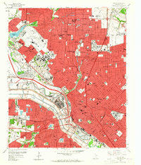
1958 Map of Dallas
USGS Topo · Published 1965About this map
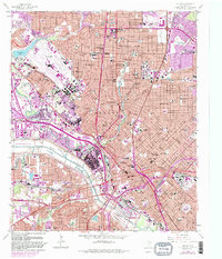
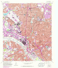
Love Field Municipal Airport and the expanding urban core of Dallas dominate this mid-century landscape, captured shortly after the 1950s construction boom. The map detail reflects a city of distinct neighborhoods and institutional anchors, from Southern Methodist University in University Park to the historic grounds of Fair Park and the iconic Cotton Bowl. The city's geography is defined by the managed path of the Trinity River, where the Dallas Floodway attempts to contain the water alongside a dense network of railroads including the Missouri Kansas Texas and Santa Fe lines.
Find a feature on this map
96 named features on this map. Tap any name to fly to it.
Don’t see what you’re looking for? This feature index may not catch every label — zoom into the map to look around manually.
Map Details
Editions of this 1958 Dallas Map
7 editions found
Other maps of this area

1891 · Dallas
USGS Topo · 1:125,000

1893 · Dallas
USGS Topo · 1:125,000

1925 · Dallas 2-b
USGS Topo · 1:48,000

1931 · Carrollton
USGS Topo · 1:62,500

1954 · Dallas
USGS Topo · 1:250,000

1957 · White Rock Lake
USGS Topo · 1:24,000

1958 · Dallas
USGS Topo · 1:250,000

1958 · Hutchins
USGS Topo · 1:24,000

1958 · Oak Cliff
USGS Topo · 1:24,000

1958 · Dallas
USGS Topo · 1:24,000