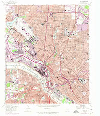
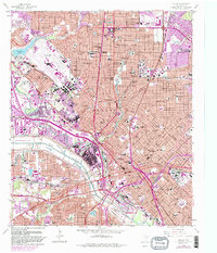
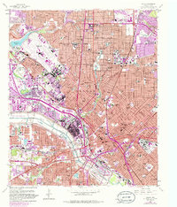
1958 Map of Dallas
USGS Topo · Published 1974About this map
The urban heart of Dallas is documented here during a period of massive infrastructure growth, as the city expanded northward through University Park and Highland Park. This mid-century view is dominated by the sprawling layout of Love Field Municipal Airport and the concentrated academic grounds of Southern Methodist University. The Trinity River channel, flanked by the Dallas floodway, cuts a distinctive path through the southwestern quadrant, creating a stark border between the industrial sectors and the burgeoning commercial core.
Find a feature on this map
100 named features on this map. Tap any name to fly to it.
Don’t see what you’re looking for? This feature index may not catch every label — zoom into the map to look around manually.
Map Details
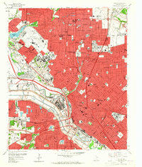
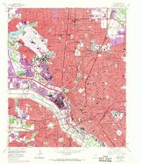
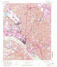
Editions of this 1958 Dallas Map
7 editions found
Other maps of this area

1891 · Dallas
USGS Topo · 1:125,000

1893 · Dallas
USGS Topo · 1:125,000

1925 · Dallas 2-b
USGS Topo · 1:48,000

1931 · Carrollton
USGS Topo · 1:62,500

1954 · Dallas
USGS Topo · 1:250,000

1957 · White Rock Lake
USGS Topo · 1:24,000

1958 · Dallas
USGS Topo · 1:250,000

1958 · Hutchins
USGS Topo · 1:24,000

1958 · Oak Cliff
USGS Topo · 1:24,000

1958 · Dallas
USGS Topo · 1:24,000