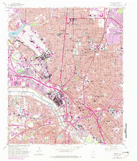
1958 Map of Dallas
USGS Topo · Published 1982About this map
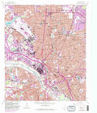
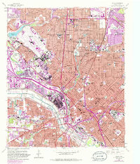
The Dallas Floodway and its engineering define the central landscape of this 1958 survey, showing the city's relationship with the Trinity River. This mid-century view captures the dense urban expansion of Dallas, University Park, and Highland Park during a period of massive infrastructure growth. Major transportation arteries like the Stemmons Freeway and Central Expressway are shown cutting through the city, while the older rail network—including the Texas and Pacific RR and Santa Fe RR—converges at Union Station.
Find a feature on this map
78 named features on this map. Tap any name to fly to it.
Don’t see what you’re looking for? This feature index may not catch every label — zoom into the map to look around manually.
Map Details
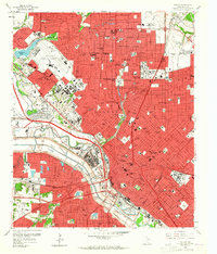
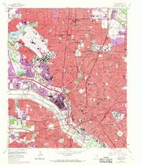
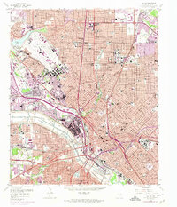
Editions of this 1958 Dallas Map
7 editions found
Other maps of this area

1891 · Dallas
USGS Topo · 1:125,000

1893 · Dallas
USGS Topo · 1:125,000

1925 · Dallas 2-b
USGS Topo · 1:48,000

1931 · Carrollton
USGS Topo · 1:62,500

1954 · Dallas
USGS Topo · 1:250,000

1957 · White Rock Lake
USGS Topo · 1:24,000

1958 · Dallas
USGS Topo · 1:250,000

1958 · Hutchins
USGS Topo · 1:24,000

1958 · Oak Cliff
USGS Topo · 1:24,000

1958 · Dallas
USGS Topo · 1:24,000