
1946 Map of Dalton
USGS Topo · Published 1958About this map
South Branch Tunkhannock Creek winds through a landscape of glacial ponds and prominent ridges in this mid-1940s study of Lackawanna County. The settlement pattern follows the established corridors of the Delaware Lackawanna and Western railroad, which services Dalton, Glenburn, and the La Plume Sta. The area is notably dense with small family and community burial grounds, such as Decker Cem and Sicklers Cem, reflecting the deep agricultural roots of townships like Benton and North Abington.
Find a feature on this map
67 named features on this map. Tap any name to fly to it.
Don’t see what you’re looking for? This feature index may not catch every label — zoom into the map to look around manually.
Map Details
Editions of this 1946 Dalton Map
5 editions found
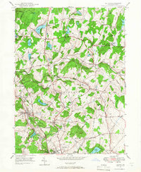
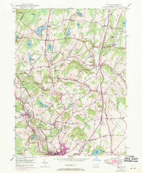
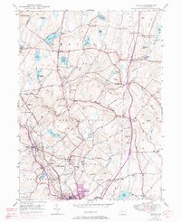
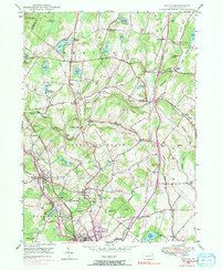
Other maps of this area

1889 · Scranton
USGS Topo · 1:62,500

1891 · Scranton
USGS Topo · 1:62,500

1892 · Dundaff
USGS Topo · 1:62,500

1893 · Pittston
USGS Topo · 1:62,500

1893 · Scranton
USGS Topo · 1:62,500

1943 · Scranton
USGS Topo · 1:125,000

1946 · Tunkhannock
USGS Topo · 1:62,500

1946 · Olyphant
USGS Topo · 1:24,000

1946 · Ransom
USGS Topo · 1:24,000

1946 · Carbondale
USGS Topo · 1:24,000
Featured Places
- Scott Township, PA
- Glenburn Township, PA
- Dalton, PA
- La Plume Township, PA
- Carpenter Town, Benton Township