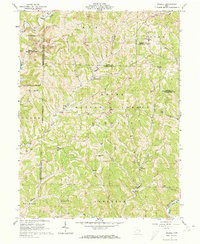
1961 Map of Dalzell
USGS Topo · Published 1973About this map
The Wayne National Forest anchors this survey of southeastern Ohio, revealing a landscape defined by the winding tributaries of the Little Muskingum River. In the early 1960s, this region of Washington County remained a patchwork of small communities like Dalzell, Germantown, and Gasville, connected by a network of hollows and ridges. The map meticulously records historical property and land divisions, including the North Boundary Donation Tract and the West Boundary Old Seven Ranges, which provide essential context for researchers tracing original land grants. Numerous gas wells and scattered strip mines point to the area's extraction history, while genealogy researchers will find several family-named landmarks and rural burial grounds, such as Scotts Ridge Cem and Waxler Ch Cem, along the banks of Fifteenmile Creek and Duck Creek.
Find a feature on this map
49 named features on this map. Tap any name to fly to it.
Don’t see what you’re looking for? This feature index may not catch every label — zoom into the map to look around manually.
Map Details
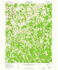
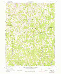
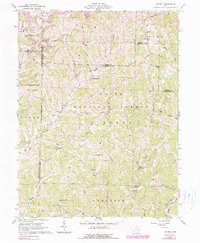
Editions of this 1961 Dalzell Map
4 editions found
Other maps of this area

1903 · Macksburg
USGS Topo · 1:62,500

1904 · Marietta
USGS Topo · 1:62,500

1905 · New Matamoras
USGS Topo · 1:62,500

1905 · Macksburg
USGS Topo · 1:62,500

1906 · Saint Marys
USGS Topo · 1:62,500

1924 · St Marys
USGS Topo · 1:62,500

1924 · New Matamoras
USGS Topo · 1:62,500

1924 · Marietta
USGS Topo · 1:62,500

1926 · New Matamoras
USGS Topo · 1:62,500

1927 · Marietta
USGS Topo · 1:62,500