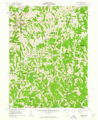
1961 Map of Dalzell
USGS Topo · Published 1963About this map
Wayne National Forest dominates much of this landscape in Washington and Noble Counties, where the terrain is defined by the winding tributaries of the Little Muskingum River. This early 1960s survey illustrates a rural settlement pattern centered on small communities like Dalzell and Germantown. For local historians and genealogists, the map provides precise locations for several rural congregations, including Zion Ch and Halls Chapel, alongside landmarks such as Scotts Ridge Ch and Waxler Ch. The industrial footprint of the era is visible through scattered Strip Mines and Gas Wells tucked into the ridges. Historical land divisions are exceptionally detailed here, noting the North Boundary Donation Tract and the West Boundary Old Seven Ranges, reflecting the complex early surveying history of the Ohio River Base.
Find a feature on this map
47 named features on this map. Tap any name to fly to it.
Don’t see what you’re looking for? This feature index may not catch every label — zoom into the map to look around manually.
Map Details
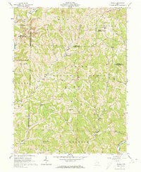
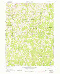
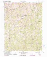
Editions of this 1961 Dalzell Map
4 editions found
Other maps of this area

1903 · Macksburg
USGS Topo · 1:62,500

1904 · Marietta
USGS Topo · 1:62,500

1905 · New Matamoras
USGS Topo · 1:62,500

1905 · Macksburg
USGS Topo · 1:62,500

1906 · Saint Marys
USGS Topo · 1:62,500

1924 · St Marys
USGS Topo · 1:62,500

1924 · New Matamoras
USGS Topo · 1:62,500

1924 · Marietta
USGS Topo · 1:62,500

1926 · New Matamoras
USGS Topo · 1:62,500

1927 · Marietta
USGS Topo · 1:62,500