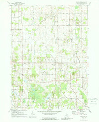
1970 Map of Dansville
USGS Topo · Published 1989About this map
The village of Dansville serves as the central hub of this Ingham County landscape, where the agricultural grid is defined by a dense network of country lanes and historic townships. The survey highlights the intersection of Wheatfield, White Oak, and Bunker Hill townships, revealing a pattern of rural settlement common to southern Michigan before modern expansion. Significant local-history landmarks are preserved, including several family and community burial grounds such as Fairview Cem and Spalding Cem. The terrain is shaped by the slow movement of Deer Creek and Doan Creek, while the southern portion of the map is dominated by wetlands and water bodies like Hewes Lake and Ewers Lake. Notable rural features include the Roadside Park along Howell Road and various gravel pits that suggest the local glacial geology and small-scale industry of the mid-20th century.
Find a feature on this map
45 named features on this map. Tap any name to fly to it.
Don’t see what you’re looking for? This feature index may not catch every label — zoom into the map to look around manually.
Map Details
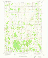
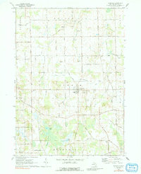
Editions of this 1970 Dansville Map
3 editions found
Other maps of this area

1908 · Fowlerville
USGS Topo · 1:62,500

1909 · Mason
USGS Topo · 1:62,500

1910 · Fowlerville
USGS Topo · 1:62,500

1911 · Mason
USGS Topo · 1:62,500

1919 · Stockbridge
USGS Topo · 1:62,500

1919 · Rives Junction
USGS Topo · 1:62,500

1921 · Rives Junction
USGS Topo · 1:62,500

1922 · Stockbridge
USGS Topo · 1:62,500

1942 · Stockbridge
USGS Topo · 1:62,500

1958 · Grand Rapids
USGS Topo · 1:250,000