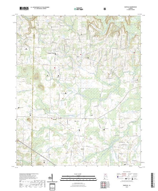
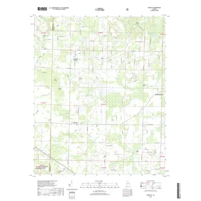
2024 Map of Danville
USGS Topo · Published 2024About this map
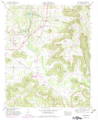
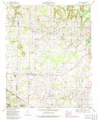
Danville and its surrounding rural landscapes in Morgan and Lawrence Counties are defined by a complex network of small cemeteries and local waterways. The community is anchored by the presence of numerous family burial grounds and historical sites like Uptons Chapel Cem and the Daniel Gravesite. Settlement patterns follow the winding paths of West Flint Creek and No Business Creek, which drain the varied terrain where the southern foothills meet the Long Bottom wetlands.
Find a feature on this map
124 named features on this map. Tap any name to fly to it.
Don’t see what you’re looking for? This feature index may not catch every label — zoom into the map to look around manually.
Map Details
Editions of this 2024 Danville Map
This is the sole edition of this map. No revisions or reprints were ever made.
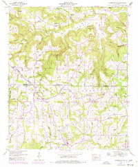
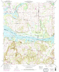
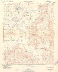
Historical Maps of Hartselle Through Time
34 maps found
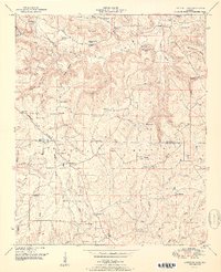
1936 Center Grove
Morgan County, AL
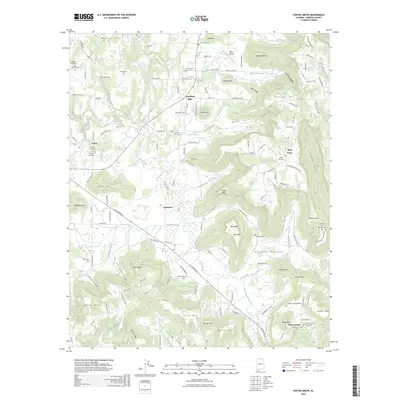
1936 Lawrence Cove
Morgan County, AL

1936 Mason Ridge
Morgan County, AL
1936 Stroups Crossroads
Morgan County, AL
1947 Center Grove
Morgan County, AL
1949 Lawrence Cove
Morgan County, AL
1949 Mason Ridge
Morgan County, AL
1950 Center Grove
Morgan County, AL
1951 Lawrence Cove
Morgan County, AL
1951 Mason Ridge
Morgan County, AL
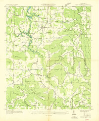
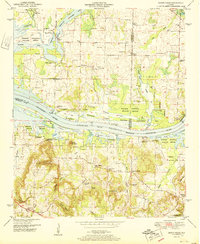
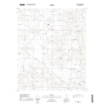
1960 Danville
Morgan County, AL
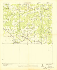
2000 Danville
Morgan County, AL

2011 Center Grove
Morgan County, AL
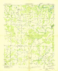
2011 Danville
Morgan County, AL
2011 Lawrence Cove
Morgan County, AL
2011 Mason Ridge
Morgan County, AL
2014 Center Grove
Morgan County, AL
2014 Danville
Morgan County, AL
2014 Lawrence Cove
Morgan County, AL
2014 Mason Ridge
Morgan County, AL
2018 Center Grove
Morgan County, AL
2018 Danville
Morgan County, AL
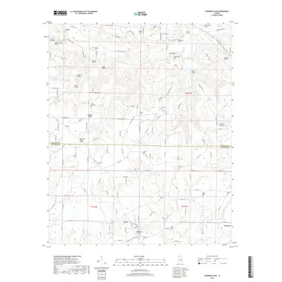
2018 Lawrence Cove
Morgan County, AL

2018 Mason Ridge
Morgan County, AL
2020 Center Grove
Morgan County, AL
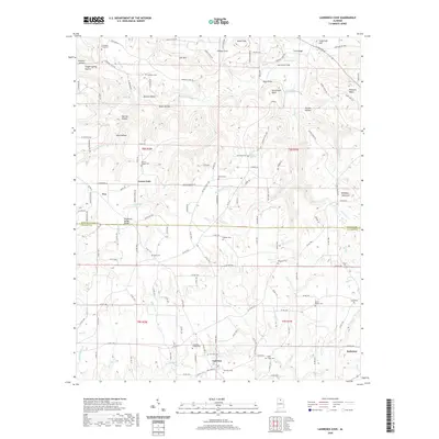
2020 Lawrence Cove
Morgan County, AL
2020 Mason Ridge
Morgan County, AL
2021 Danville
Morgan County, AL
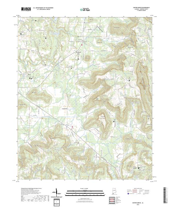
2024 Center Grove
Morgan County, AL
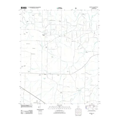
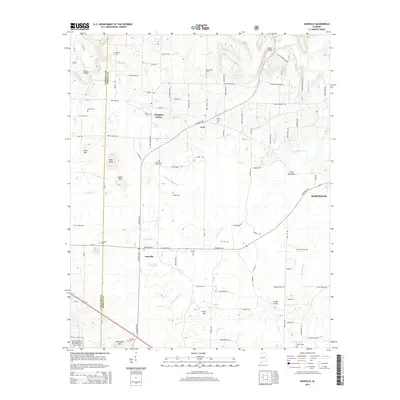
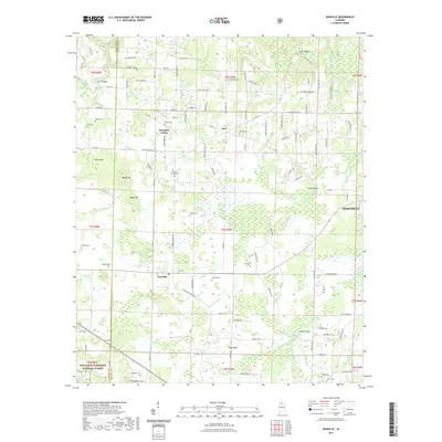
2024 Danville
Morgan County, AL
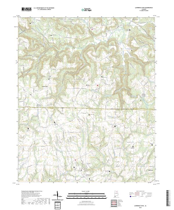
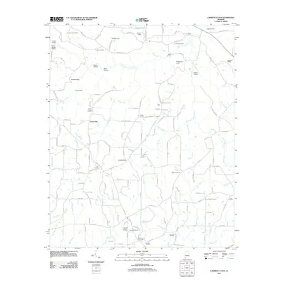
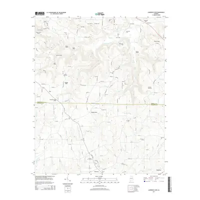
2024 Lawrence Cove
Morgan County, AL
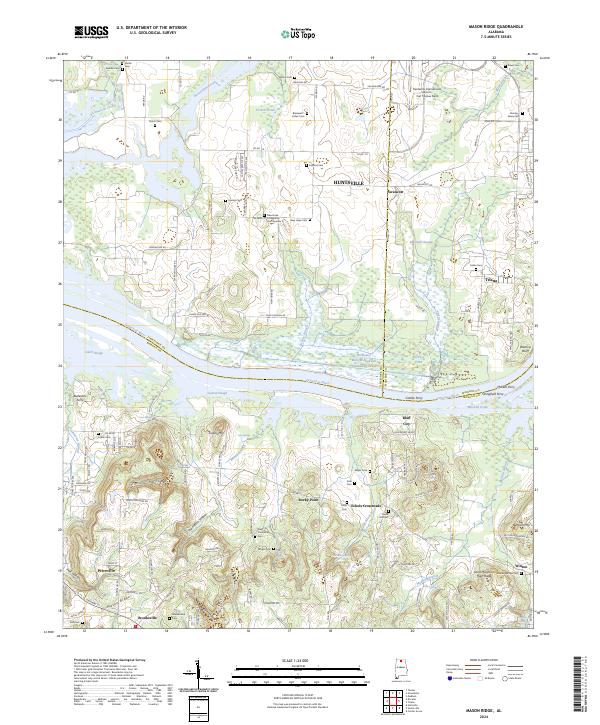
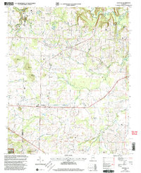
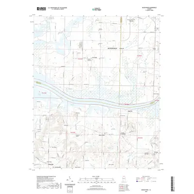
2024 Mason Ridge
Morgan County, AL
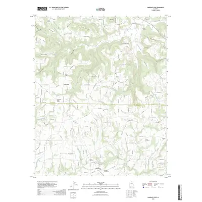
2026 Center Grove
Morgan County, AL
2026 Lawrence Cove
Morgan County, AL