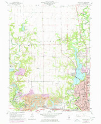
1966 Map of Danville NW
USGS Topo · Published 1978About this map
The industrial and recreational landscape of Vermilion County centers on the Middle Fork Vermilion River and the expansive Harmattan Strip Mine. This 1966 survey, photorevised in the late 1970s, illustrates the profound impact of surface mining on the local topography, particularly around Kickapoo State Park where a series of water bodies like Clear Pond, Emerald Pond, and Hidden Pond occupy former mining sites. The urban expansion of Danville reaches into the southeast, showing civic infrastructure such as the Naval Reserve Center, several local schools including Edison Sch, and the Danville Country Club. Transportation networks are dominated by the New York Central Railroad corridor, which services the small settlements of Hillery and Wyton. Genealogists will find a high density of rural burial grounds, such as Dodson Cem, Thurman Cem, and Pentecost Cem, documenting the area's agricultural roots before mining and suburbanization transformed the terrain.
Find a feature on this map
62 named features on this map. Tap any name to fly to it.
Don’t see what you’re looking for? This feature index may not catch every label — zoom into the map to look around manually.
Map Details
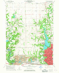
Editions of this 1966 Danville NW Map
2 editions found
Other maps of this area

1899 · Danville
USGS Topo · 1:62,500

1900 · Danville
USGS Topo · 1:62,500

1931 · Fithian
USGS Topo · 1:48,000

1933 · Hoopeston
USGS Topo · 1:48,000

1936 · Potomac
USGS Topo · 1:62,500

1938 · Hoopeston
USGS Topo · 1:62,500

1943 · Fithian
USGS Topo · 1:62,500

1948 · Danville NW
USGS Topo · 1:24,000

1949 · Danville SW
USGS Topo · 1:24,000

1950 · Danville SW
USGS Topo · 1:24,000