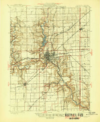
1900 Map of Danville
USGS Topo · Published 1946About this map
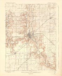
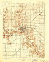
The Danville area at the turn of the century serves as a major industrial and transportation hub where the Middle Fork Vermilion River and North Fork Vermilion River converge. This 1897 survey, updated with later corrections, illustrates a landscape heavily influenced by coal mining and heavy rail. A dense network of tracks, including the Wabash RR, Chicago and Eastern Illinois RR, and the New York Central and Hudson River RR, connects the city to satellite industrial settlements like Westville, Catlin, and Tilton. The map captures the early development of Belgium and the rail-oriented layout of Steelton. To the west, the winding path of Hungry Hollow cuts through the terrain near Batestown, while the state boundary line is marked by the border community of Illiana. The level of detail provides an excellent look at the interplay between the Vermilion River and the expanding industrial infrastructure of East Central Illinois.
Find a feature on this map
35 named features on this map. Tap any name to fly to it.
Don’t see what you’re looking for? This feature index may not catch every label — zoom into the map to look around manually.
Map Details
Editions of this 1900 Danville Map
7 editions found
Other maps of this area

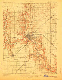
1899 · Danville
USGS Topo · 1:62,500

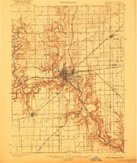
1900 · Danville
USGS Topo · 1:62,500

1931 · Fithian
USGS Topo · 1:48,000

1933 · Hoopeston
USGS Topo · 1:48,000

1936 · Potomac
USGS Topo · 1:62,500

1938 · Hoopeston
USGS Topo · 1:62,500

1943 · Fithian
USGS Topo · 1:62,500

1947 · Ridge Farm
USGS Topo · 1:62,500

1948 · Danville NW
USGS Topo · 1:24,000

1949 · Danville SW
USGS Topo · 1:24,000