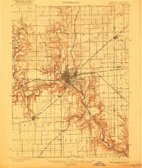
1900 Map of Danville
USGS Topo · Published 1922About this map
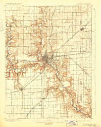
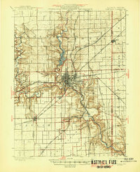
Danville serves as the industrial and transportation hub of this region at the turn of the century, where several major rail lines intersect. The Vermilion River and its multiple forks—including the North Fork, Middle Fork, and Salt Fork—carve through the landscape, creating distinct geological features such as Hungry Hollow. This 1897 survey records a moment when the coal and brick-making industries around Batestown and Hillery were active, supported by an extensive network of tracks like the Wabash R. R. and the Chicago and Eastern Illinois R. R.. Smaller settlements like Vandercook and Kellyville line the southward rails toward Westville, while the Boundary Line at State Line marks the transition into Indiana.
Find a feature on this map
39 named features on this map. Tap any name to fly to it.
Don’t see what you’re looking for? This feature index may not catch every label — zoom into the map to look around manually.
Map Details
Editions of this 1900 Danville Map
7 editions found
Other maps of this area

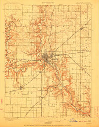
1899 · Danville
USGS Topo · 1:62,500

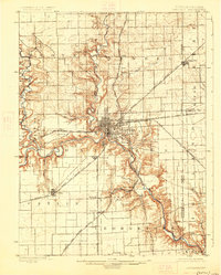
1900 · Danville
USGS Topo · 1:62,500

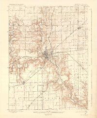
1931 · Fithian
USGS Topo · 1:48,000

1933 · Hoopeston
USGS Topo · 1:48,000

1936 · Potomac
USGS Topo · 1:62,500

1938 · Hoopeston
USGS Topo · 1:62,500

1943 · Fithian
USGS Topo · 1:62,500

1947 · Ridge Farm
USGS Topo · 1:62,500

1948 · Danville NW
USGS Topo · 1:24,000

1949 · Danville SW
USGS Topo · 1:24,000