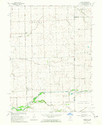
1964 Map of Darrow
USGS Topo · Published 1965About this map
Chicago Milwaukee St Paul and Pacific railroad tracks anchor the landscape of this mid-1960s survey along the Illinois and Indiana state line. Small settlements like Darrow and Cutmer represent the quiet rail stops of Iroquois County, where the grid of rural roads is occasionally broken by uniquely named routes like Possum Trot. The drainage of the region is defined by the winding paths of Coon Creek and Sugar Creek, the latter featuring several Gravel Pits along its banks, suggesting local industry in the mid-century era.
Find a feature on this map
19 named features on this map. Tap any name to fly to it.
Don’t see what you’re looking for? This feature index may not catch every label — zoom into the map to look around manually.
Map Details
Editions of this 1964 Darrow Map
2 editions found
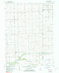
Other maps of this area

1935 · Watseka
USGS Topo · 1:48,000

1938 · Milford
USGS Topo · 1:48,000

1939 · Watseka
USGS Topo · 1:62,500

1944 · Milford
USGS Topo · 1:62,500

1953 · Danville
USGS Topo · 1:250,000

1955 · Danville
USGS Topo · 1:250,000

1956 · Danville
USGS Topo · 1:250,000

1961 · Kentland
USGS Topo · 1:24,000

1962 · Boswell
USGS Topo · 1:24,000

1962 · Earl Park
USGS Topo · 1:24,000