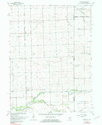
1964 Map of Darrow
USGS Topo · Published 1984About this map
Chicago Milwaukee St Paul and Pacific rail lines anchor the small settlements of Darrow and Cutmer in this mid-1960s survey of the Illinois-Indiana border. The landscape is defined by a dense network of water management features and agricultural infrastructure, where natural drainage like Coon Creek and Mud Creek meets engineered solutions such as the colorfully named Possum Trot Ditch and Salmon Ditch. This era shows the region's rural character preserved through its landmarks, including the Disosway Airstrip and several local burial grounds.
Find a feature on this map
22 named features on this map. Tap any name to fly to it.
Don’t see what you’re looking for? This feature index may not catch every label — zoom into the map to look around manually.
Map Details
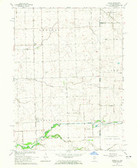
Editions of this 1964 Darrow Map
2 editions found
Other maps of this area

1935 · Watseka
USGS Topo · 1:48,000

1938 · Milford
USGS Topo · 1:48,000

1939 · Watseka
USGS Topo · 1:62,500

1944 · Milford
USGS Topo · 1:62,500

1953 · Danville
USGS Topo · 1:250,000

1955 · Danville
USGS Topo · 1:250,000

1956 · Danville
USGS Topo · 1:250,000

1961 · Kentland
USGS Topo · 1:24,000

1962 · Boswell
USGS Topo · 1:24,000

1962 · Earl Park
USGS Topo · 1:24,000