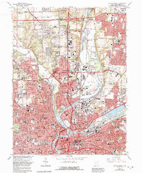
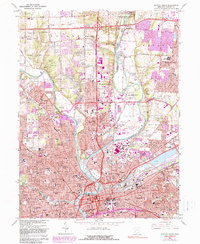
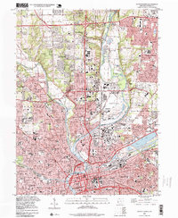
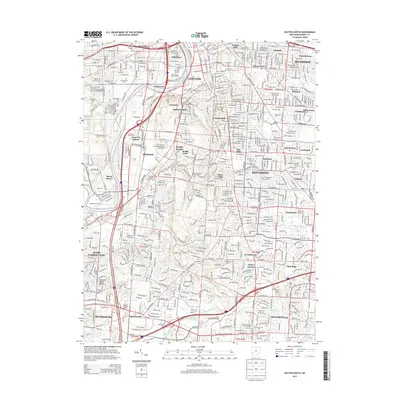
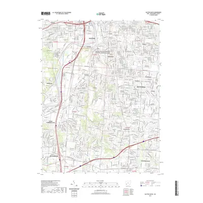
1965 Map of Dayton North
USGS Topo · Published 1992About this map
The Taylorsville Dam and the confluence of the Great Miami River define the landscape of northern Dayton during this era of mid-century expansion. This survey illustrates the dense residential and industrial development pushing northward into the townships, connecting the city core with outlying communities like Vandalia and Huber Heights. The detailed street grids and institutional footprints reveal a community built around robust civic infrastructure, including the United Theological Seminary, Good Samaritan Hospital, and the sprawling Montgomery Co. Fairgrounds.
Find a feature on this map
50 named features on this map. Tap any name to fly to it.
Don’t see what you’re looking for? This feature index may not catch every label — zoom into the map to look around manually.
Map Details
Editions of this 1965 Dayton North Map
5 editions found
Historical Maps of Dayton Through Time
15 maps found
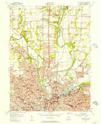
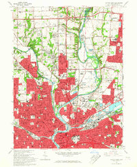
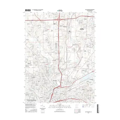
1955 Dayton North
Montgomery County, OH
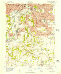
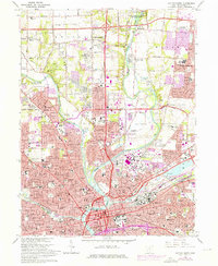
1955 Dayton South
Montgomery County, OH
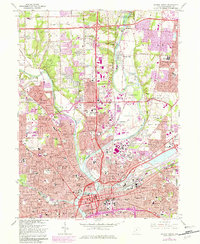
1965 Dayton North
Montgomery County, OH
1966 Dayton South
Montgomery County, OH
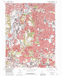
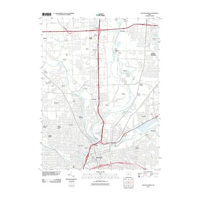
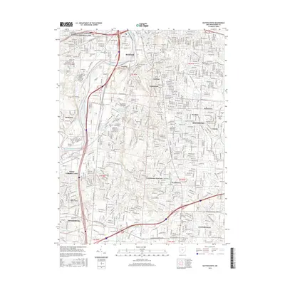
1996 Dayton North
Montgomery County, OH
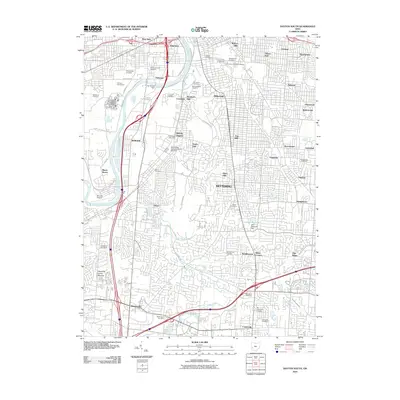
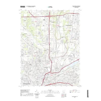
2010 Dayton North
Montgomery County, OH
2010 Dayton South
Montgomery County, OH
2013 Dayton North
Montgomery County, OH
2013 Dayton South
Montgomery County, OH
2016 Dayton North
Montgomery County, OH
2016 Dayton South
Montgomery County, OH
2019 Dayton North
Montgomery County, OH
2019 Dayton South
Montgomery County, OH
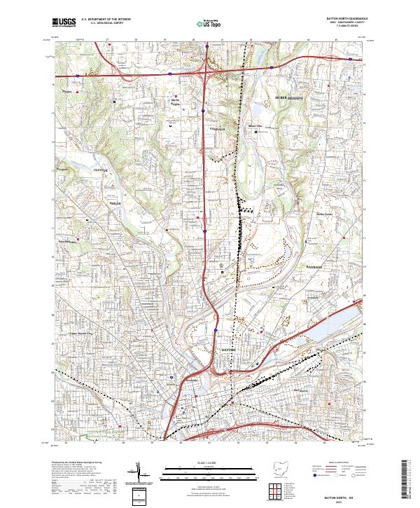
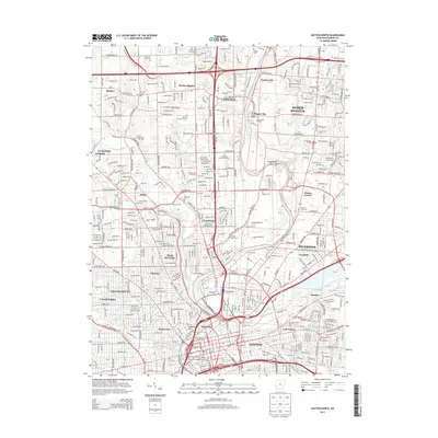
2023 Dayton North
Montgomery County, OH
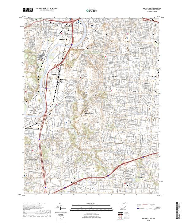
2023 Dayton South
Montgomery County, OH