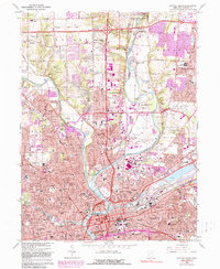
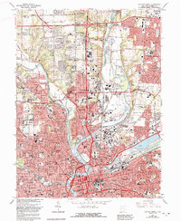
1965 Map of Dayton North
USGS Topo · Published 1990About this map
The Great Miami River and Stillwater River converge at the heart of this urban-industrial landscape, where the northern expansion of Dayton meets suburban growth in the late twentieth century. Heavy infrastructure is evident throughout, from the massive Taylorsville Dam protecting the valley to the dense rail network of the Conrail and Baltimore and Ohio lines. Substantial purple-tinted revisions indicate the rapid post-war sprawl around Huber Heights and Vandalia, while established neighborhoods like Shiloh and Northridge maintain their grid. Genealogy interests are well-served by the presence of large memorial sites including Dayton Memorial Park (Mausoleum) (Cemetery) and Willow View Cemetery. The map also captures the cultural and institutional heart of the city through landmarks like the Dayton Art Institute and Good Samaritan Hospital.
Find a feature on this map
68 named features on this map. Tap any name to fly to it.
Don’t see what you’re looking for? This feature index may not catch every label — zoom into the map to look around manually.
Map Details
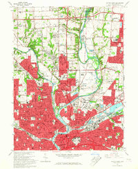
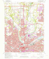
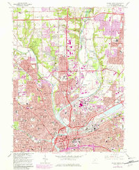
Editions of this 1965 Dayton North Map
5 editions found
Other maps of this area

1904 · Dayton
USGS Topo · 1:62,500

1905 · Brookville
USGS Topo · 1:62,500

1906 · Dayton
USGS Topo · 1:62,500

1908 · Miamisburg
USGS Topo · 1:62,500

1913 · Waynesville
USGS Topo · 1:62,500

1915 · Waynesville
USGS Topo · 1:62,500

1953 · Cincinnati
USGS Topo · 1:250,000

1955 · Miamisburg
USGS Topo · 1:24,000

1955 · Dayton South
USGS Topo · 1:24,000
1955 · Bellbrook
USGS Topo · 1:24,000