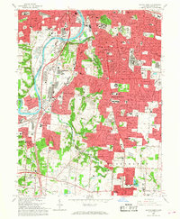
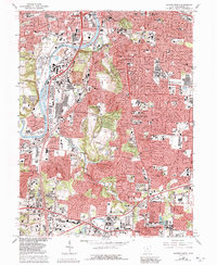
1966 Map of Dayton South
USGS Topo · Published 1968About this map
The suburban expansion of Montgomery County is visible in this mid-1960s survey, showing the rapid growth of Oakwood and Kettering south of Dayton. Industrial and institutional landmarks are prominent along the Great Miami River corridor, including the expansive Gentile AF Depot and the Dayton State Hospital. The landscape is a mix of dense residential grids and significant green spaces like Hills and Dales Park and the historic Calvary Cemetery.
Find a feature on this map
65 named features on this map. Tap any name to fly to it.
Don’t see what you’re looking for? This feature index may not catch every label — zoom into the map to look around manually.
Map Details
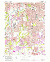
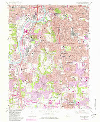
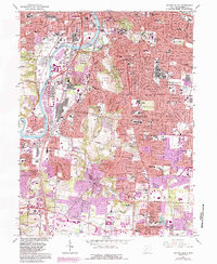
Editions of this 1966 Dayton South Map
5 editions found
Other maps of this area

1904 · Dayton
USGS Topo · 1:62,500

1905 · Brookville
USGS Topo · 1:62,500

1906 · Dayton
USGS Topo · 1:62,500

1908 · Miamisburg
USGS Topo · 1:62,500

1913 · Waynesville
USGS Topo · 1:62,500

1915 · Waynesville
USGS Topo · 1:62,500

1951 · Franklin
USGS Topo · 1:24,000

1953 · Cincinnati
USGS Topo · 1:250,000

1955 · Miamisburg
USGS Topo · 1:24,000
1955 · Waynesville
USGS Topo · 1:24,000