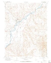
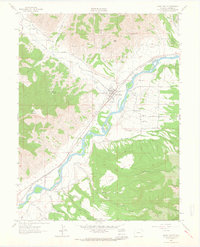
1962 Map of De Beque
USGS Topo · Published 1964About this map
The town of De Beque serves as the central hub of this 1960s landscape, situated at the confluence of the Colorado River and Roan Creek. The area's development is closely tied to the Denver and Rio Grande Western railroad, which follows the river's winding path through the canyon. An intricate network of irrigation systems, including the Bluestone Valley Ditch, Larkin Ditch, and Reservoir Ditch No 2, reflects the essential role of water management in this arid terrain.
Find a feature on this map
26 named features on this map. Tap any name to fly to it.
Don’t see what you’re looking for? This feature index may not catch every label — zoom into the map to look around manually.
Map Details
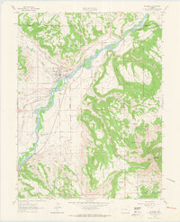
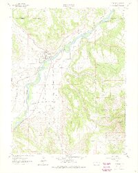
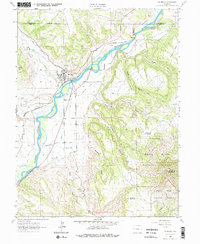
Editions of this 1962 De Beque Map
4 editions found
Other maps of this area

1929 · Grand Valley
USGS Topo · 1:62,500

1929 · Roan Creek
USGS Topo · 1:62,500

1955 · Cameo
USGS Topo · 1:24,000

1955 · Mesa
USGS Topo · 1:24,000

1955 · Molina
USGS Topo · 1:24,000

1956 · Grand Junction
USGS Topo · 1:250,000

1959 · Grand Junction
USGS Topo · 1:250,000

1960 · Grand Junction
USGS Topo · 1:250,000

1962 · Grand Junction
USGS Topo · 1:250,000
1962 · Grand Valley
USGS Topo · 1:24,000