
1955 Map of De Long Mountains A-2
USGS Topo · Published 1967About this map
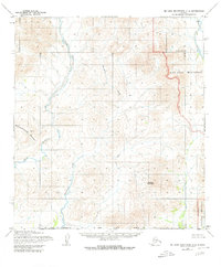
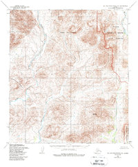
Deadlock Mountain anchors the southeastern reaches of this remote Arctic landscape, surveyed during the mid-1950s. The terrain is defined by the drainage patterns of the Wulik River and its major tributaries, including the deeply winding Ikalukrok Creek. In the northeast, Wrench Creek flows through high-elevation contour lines, while the Punupkahkroak River emerges in the west. This 1955 survey, compiled from aerial photography taken in 1952, documents a wilderness devoid of roads or permanent structures at the time of mapping. The land lines shown represent unsurveyed locations predetermined by the Bureau of Land Management, reflecting the early administrative efforts to organize this territory within the De Long Mountains before widespread development reached the Brooks Range.
Find a feature on this map
5 named features on this map. Tap any name to fly to it.
Don’t see what you’re looking for? This feature index may not catch every label — zoom into the map to look around manually.
Map Details
Editions of this 1955 De Long Mountains A-2 Map
3 editions found
Other maps of this area

1951 · De Long Mountains
USGS Topo · 1:250,000

1951 · Noatak
USGS Topo · 1:250,000

1955 · Noatak
USGS Topo · 1:250,000

1955 · De Long Mountains
USGS Topo · 1:250,000

1955 · Noatak D-3
USGS Topo · 1:63,360

1955 · Noatak D-2
USGS Topo · 1:63,360

1955 · De Long Mountains A-3
USGS Topo · 1:63,360

1955 · De Long Mountains A-1
USGS Topo · 1:63,360

1955 · De Long Mountains B-3
USGS Topo · 1:63,360

1955 · De Long Mountains B-2
USGS Topo · 1:63,360