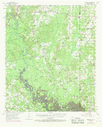
1956 Map of Deadwood
USGS Topo · Published 1969About this map
Deadwood stands as a focal point in this 1950s landscape, which was later updated to reflect the rising waters of the Toledo Bend Reservoir. This survey captures the transition of the Sabine River valley, where family and community heritage is deeply rooted in numerous country churches and burial grounds. Genealogists will find many significant sites such as the Deadwood Cem, Old Prospect Cem, and New Prospect Cem.
Find a feature on this map
61 named features on this map. Tap any name to fly to it.
Don’t see what you’re looking for? This feature index may not catch every label — zoom into the map to look around manually.
Map Details
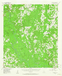
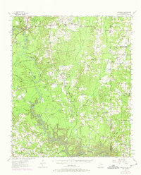
Editions of this 1956 Deadwood Map
4 editions found

Other maps of this area

1943 · Waskom
USGS Topo · 1:62,500

1944 · Logansport
USGS Topo · 1:62,500

1945 · Grand Cane
USGS Topo · 1:62,500

1945 · Waskom
USGS Topo · 1:62,500

1945 · Greenwood
USGS Topo · 1:62,500

1945 · Socagee Bayou
USGS Topo · 1:62,500

1953 · Alexandria
USGS Topo · 1:250,000

1953 · Palestine
USGS Topo · 1:250,000

1955 · Shreveport
USGS Topo · 1:250,000

1955 · Alexandria
USGS Topo · 1:250,000