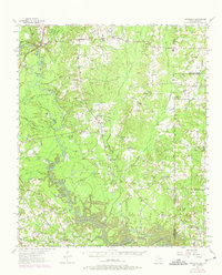
1956 Map of Deadwood
USGS Topo · Published 1975About this map
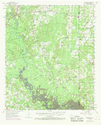
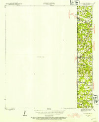
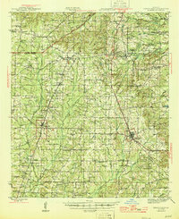
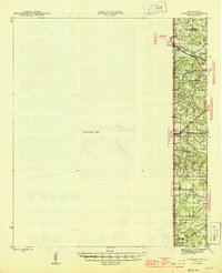
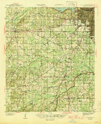
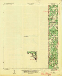
Toledo Bend Reservoir dominates the southern reaches of this landscape, its creation having altered the drainage patterns where the Sabine River forms the state line between Texas and Louisiana. The area is characterized by a dense network of rural communities and congregational life, anchored by numerous churches such as New Shady Grove Ch, Shiloh Methodist Ch, and Mt Pleasant Ch. This 1950s survey, updated in the late 1960s, documents the transition of the borderlands as the river valley was managed for water resources.
Find a feature on this map
49 named features on this map. Tap any name to fly to it.
Don’t see what you’re looking for? This feature index may not catch every label — zoom into the map to look around manually.
Map Details
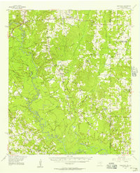
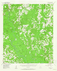
Editions of this 1956 Deadwood Map
4 editions found
Other maps of this area
1943 · Waskom
USGS Topo · 1:62,500

1944 · Logansport
USGS Topo · 1:62,500
1945 · Grand Cane
USGS Topo · 1:62,500
1945 · Waskom
USGS Topo · 1:62,500
1945 · Greenwood
USGS Topo · 1:62,500
1945 · Socagee Bayou
USGS Topo · 1:62,500

1953 · Alexandria
USGS Topo · 1:250,000

1953 · Palestine
USGS Topo · 1:250,000

1955 · Shreveport
USGS Topo · 1:250,000

1955 · Alexandria
USGS Topo · 1:250,000