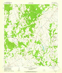
1960 Map of Deanville
USGS Topo · Published 1963About this map
East Yegua Creek defines the low-lying drainage patterns of this rural landscape along the Burleson and Lee county line. The 1960 field check reveals a community-centered settlement pattern typical of the era, where small rural hubs like Deanville and Old Dime Box served as local anchors. The map is particularly dense with sites of genealogical interest, including Belltown Cem, Hranice Cem, and the San Antonio Prairie Cem.
Find a feature on this map
27 named features on this map. Tap any name to fly to it.
Don’t see what you’re looking for? This feature index may not catch every label — zoom into the map to look around manually.
Map Details
Editions of this 1960 Deanville Map
3 editions found
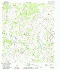
Other maps of this area

1919 · Dime Box
USGS Topo · 1:62,500

1954 · Austin
USGS Topo · 1:250,000

1956 · Caldwell
USGS Topo · 1:62,500

1956 · Milano
USGS Topo · 1:62,500

1956 · Somerville
USGS Topo · 1:62,500

1959 · Flag Pond
USGS Topo · 1:24,000
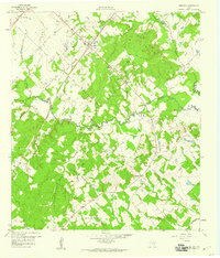
1959 · Dime Box
USGS Topo · 1:24,000
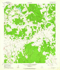
1960 · Tanglewood
USGS Topo · 1:24,000
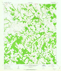
1960 · Frenstat
USGS Topo · 1:24,000
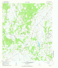
1960 · Deanville
USGS Topo · 1:24,000