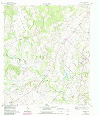
1960 Map of Deanville
USGS Topo · Published 1989About this map
The settlement of Deanville and its surrounding countryside are defined by a complex network of waterways that converge in central Burleson County. The winding East Yegua Creek serves as a primary geographical anchor, accompanied by its Old Channel and various tributaries like Buffalo Creek and Cottonwood Creek. The landscape transition from Lee County is marked by several long-established rural community hubs, including Porters Chapel and Providence Ch. Genealogists will find significant value in the documentation of several family and community burial grounds, such as the San Antonio Prairie Cem, Chriesman Cem, and Hranite Cem. The mapping of these small landmarks alongside early water features like Baloar Lake provides a detailed view of the rural Texas homestead pattern before modern development altered these small agricultural communities.
Find a feature on this map
25 named features on this map. Tap any name to fly to it.
Don’t see what you’re looking for? This feature index may not catch every label — zoom into the map to look around manually.
Map Details
Editions of this 1960 Deanville Map
3 editions found
Other maps of this area

1919 · Dime Box
USGS Topo · 1:62,500

1954 · Austin
USGS Topo · 1:250,000

1956 · Caldwell
USGS Topo · 1:62,500

1956 · Milano
USGS Topo · 1:62,500

1956 · Somerville
USGS Topo · 1:62,500

1959 · Flag Pond
USGS Topo · 1:24,000
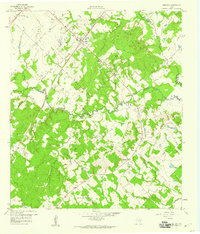
1959 · Dime Box
USGS Topo · 1:24,000
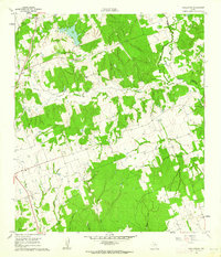
1960 · Tanglewood
USGS Topo · 1:24,000
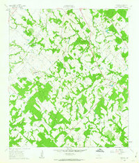
1960 · Frenstat
USGS Topo · 1:24,000
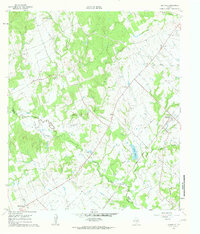
1960 · Deanville
USGS Topo · 1:24,000