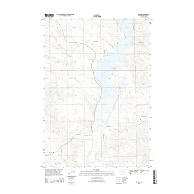
2014 Map of Decker
USGS Topo · Published 2014About this map
Decker is the primary point of settlement on this 2014 survey of southern Big Horn County, situated just north of the Wyoming border. The landscape is dominated by the Tongue River Reservoir, which fills the eastern half of the map with its indented shoreline featuring Sand Pt, Peewee Pt, and Rattlesnake Pt. To the west, the terrain rises toward the Badger Hills, cut by numerous drainage systems including Spring Cr, Pearson Cr, and Pond Cr. Local transit is centered on MT-314, which serves as the main artery through the valley, complemented by rural routes like Decker School Rd and Quietus Rd. The map illustrates the specialized water management and road networks required in this arid river valley environment, where life follows the course of the Tongue River.
Find a feature on this map
35 named features on this map. Tap any name to fly to it.
Don’t see what you’re looking for? This feature index may not catch every label — zoom into the map to look around manually.
Map Details
Editions of this 2014 Decker Map
This is the sole edition of this map. No revisions or reprints were ever made.
Other maps of this area

1909 · Sheridan
USGS Topo · 1:125,000

1911 · Sheridan
USGS Topo · 1:125,000

1954 · Hardin
USGS Topo · 1:250,000

1955 · Sheridan
USGS Topo · 1:250,000

1957 · Hardin
USGS Topo · 1:250,000

1958 · Hardin
USGS Topo · 1:250,000

1958 · Sheridan
USGS Topo · 1:250,000

1962 · Sheridan
USGS Topo · 1:250,000

1967 · Holmes Ranch
USGS Topo · 1:24,000

1967 · Tongue River Dam
USGS Topo · 1:24,000