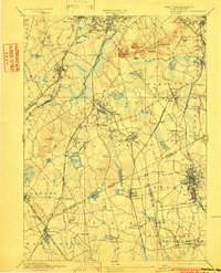
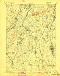
1894 Map of Dedham
USGS Topo · Published 1902About this map
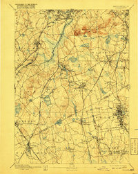
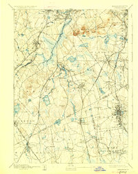
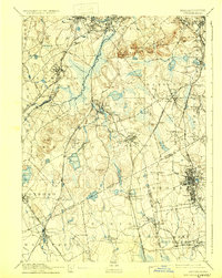
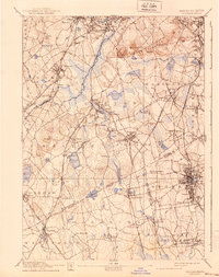
The Neponset River and its numerous tributaries, including Mother Brook and Purgatory Brook, define the drainage and early industrial landscape of Norfolk County in the late nineteenth century. This topography reveals a complex network of rail infrastructure during the height of the steam era, with the Old Colony R.R. and the Providence Division connecting established manufacturing hubs like East Walpole and Canton Junction.
Find a feature on this map
126 named features on this map. Tap any name to fly to it.
Don’t see what you’re looking for? This feature index may not catch every label — zoom into the map to look around manually.
Map Details
Editions of this 1894 Dedham Map
10 editions found

Other maps of this area

1885 · Abington
USGS Topo · 1:62,500

1885 · Middleboro
USGS Topo · 1:62,500

1885 · Taunton
USGS Topo · 1:62,500

1886 · Dedham
USGS Topo · 1:62,500

1886 · Framingham
USGS Topo · 1:62,500

1887 · Franklin
USGS Topo · 1:62,500

1887 · Providence
USGS Topo · 1:62,500

1888 · Taunton
USGS Topo · 1:62,500

1888 · Middleboro
USGS Topo · 1:62,500

1888 · Abington
USGS Topo · 1:62,500