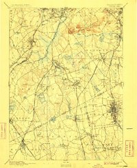
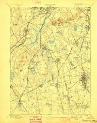
1894 Map of Dedham
USGS Topo · Published 1909About this map
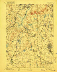
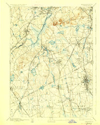
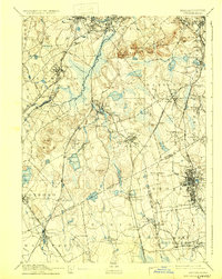
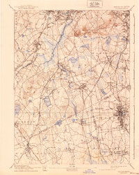
The Neponset River corridor serves as the industrial and transit spine of this landscape south of Boston, where a dense network of steam railroads fuels the growth of late 19th-century manufacturing centers. Small industrial villages and neighborhoods like Readville, East Dedham, and Hyde Park are intricately detailed, showing the concentration of housing around rail hubs and water power sites. The map documents the complex operations of the Old Colony Railroad and the New York New England R. R. at a time when rail travel was the primary driver of regional development.
Find a feature on this map
125 named features on this map. Tap any name to fly to it.
Don’t see what you’re looking for? This feature index may not catch every label — zoom into the map to look around manually.
Map Details
Editions of this 1894 Dedham Map
10 editions found

Other maps of this area

1885 · Abington
USGS Topo · 1:62,500

1885 · Middleboro
USGS Topo · 1:62,500

1885 · Taunton
USGS Topo · 1:62,500

1886 · Dedham
USGS Topo · 1:62,500

1886 · Framingham
USGS Topo · 1:62,500

1887 · Franklin
USGS Topo · 1:62,500

1887 · Providence
USGS Topo · 1:62,500

1888 · Taunton
USGS Topo · 1:62,500

1888 · Middleboro
USGS Topo · 1:62,500

1888 · Abington
USGS Topo · 1:62,500