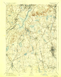
1894 Map of Dedham
USGS Topo · Published 1932About this map
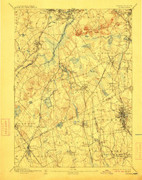
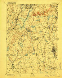
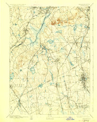
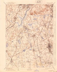
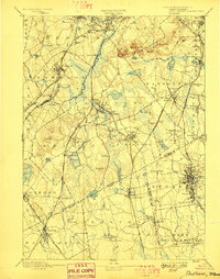
Neponset River wetlands and the prominent summits of the Blue Hills dominate this landscape south of Boston during the late nineteenth century. The region is defined by a dense intersection of industrial rail lines, including the Old Colony Railroad and the New York and New England R.R., which fueled the growth of manufacturing centers like Brockton and Canton. Smaller villages such as Readville, Islington, and Campello are clearly established along these corridors, while higher elevations like Great Blue Hill and Chickataubut remain largely undeveloped. Significant water bodies like Massapoag Pond and the Reservoir Pond reflect the era's reliance on local hydrology for both industry and community water supplies. The map captures the transition from rural townships to connected industrial suburbs, with distinct neighborhoods like Oakdale and Endicott emerging near the Dedham town center.
Find a feature on this map
113 named features on this map. Tap any name to fly to it.
Don’t see what you’re looking for? This feature index may not catch every label — zoom into the map to look around manually.
Map Details
Editions of this 1894 Dedham Map
10 editions found

Other maps of this area

1885 · Abington
USGS Topo · 1:62,500

1885 · Middleboro
USGS Topo · 1:62,500

1885 · Taunton
USGS Topo · 1:62,500

1886 · Dedham
USGS Topo · 1:62,500

1886 · Framingham
USGS Topo · 1:62,500

1887 · Franklin
USGS Topo · 1:62,500

1887 · Providence
USGS Topo · 1:62,500

1888 · Taunton
USGS Topo · 1:62,500

1888 · Middleboro
USGS Topo · 1:62,500

1888 · Abington
USGS Topo · 1:62,500